Category Archives: 2021 entries
Local Walks (19) – There is another aspect …
I have concentrated on showing some of the beautiful and/or interesting walks nearby, and in some ways this one was both of those adjectives. However it also illustrates another side to the Australian landscape.
There are three local route up the first rise into the lower Blue Mountains: the main highway, then a little northwards and now down-traffic only is the original route up, Mitchell’s Pass, and further north is the Old Bathurst Road, up which I used to cycle regularly when we lived in Mount Riverview.
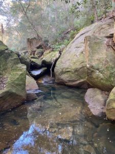
On this occasion, we walked from our house through the streets to Knapsack Gully Reserve, between the Old Bathurst Road and below Mitchell’s Pass. Through this area, Lapstone Creek runs down the escarpment.
The railway borders the area at the eastern end, and it is a sign of how much water suddenly can come down the creek after rainfall, that there is a culvert under the railway embankment almost large enough for a single track railway line!
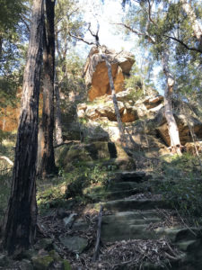
From the creek it is possible to look of at some spectacular rock ledges, which overhang the creek.
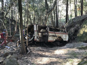
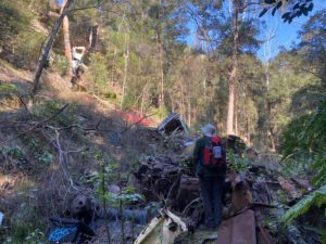
Unfortunately this spot also provided a suitable place for people to dump cars spectacularly over the rock ledge. Stolen or just end-of-life, who knows?
According to local lore, it is mostly stolen cars, but then why dump them like this?
It’s also clear that some have been carried down the creek by the raging waters when in flood, as they are now far below a cliff off which they could have been dumped.
Fortunately this appalling practice has been stopped by the Highway Authority, largely by growing trees all along the side of Mitchell’s Pass roadway.
Protected: Local Walks (18) – Loop around Faulconbridge
Protected: Almost not worthy of an entry ….
Protected: Local Walks (17) – Not Not Duck Hole Again
Protected: Local Walks (16) – Duck Hole and Red Hands Ridge
Protected: Local Walks (15) – The Red Hands Cave walk
Not-quite Local Walks 4 – The Bushrangers Cave and Rienits Pass
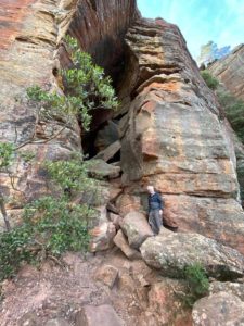 Another walk from Blackheath, but the other side of the highway from Porters Pass (see NQLW3): this one is on the western side, with views over to the Kanimbla and Megalong Valleys.
As usual, there was a long downhill scramble first, down a zig-zag “road” down which pack-horses were led to carry goods down to the Kanimbla Valley, and produce in return up the (very steep) hill. Poor horses.
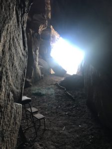
Near the bottom is a cave where in the 1850s someone found an old piece of newspaper printed in the 1820s, with an article about prisoners escaping from a local prison. So with a leap of imagination it became an outlaws’ lair. A “Bushrangers Cave” in local parlance.
Not a comfortable home, I suspect, and @#$%&* cold in winter, no doubt.
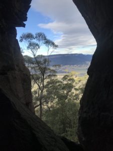
A beautiful view to wake up to, though.
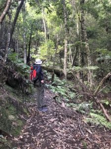
After admiring the real estate, we walked on through Rienet’s Pass. Another of these beautiful paths which essentially go from no-where to no-where else, made to attract Victorian (Edwardian?) tourists.
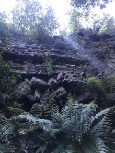
They remain a tourist attraction now, of course. The waterfalls are tremendous and the streams through the gumtrees are lovely.
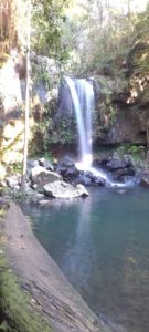 I think that in many countries each one of these walks would be regarded as a major drawcard for an area. Here there are simply so many spectacular walks/views/waterfalls/rock formations.

