Local Walks 7. Grey Hat Falls.

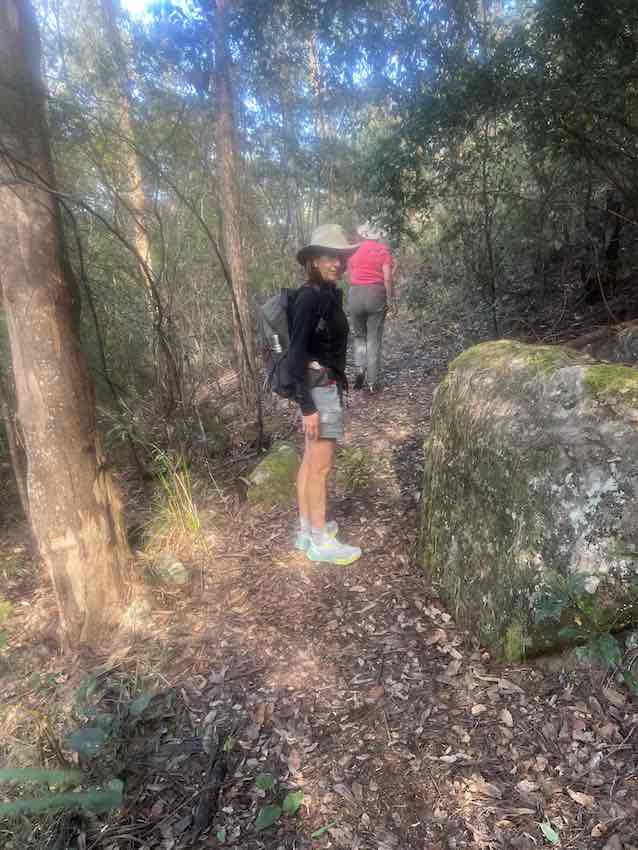
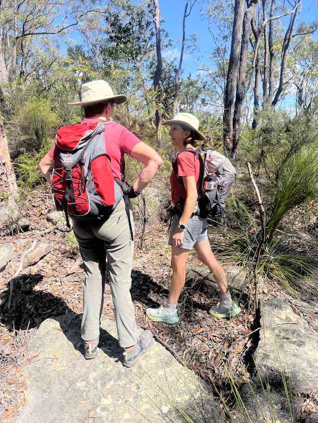
We could, actually do this walk from home, but it would make for a long day, and as the weather forecast was for temperatures in the mid-30s (Centigrade), we opted to drive to the car-parking pot on the road to Red Hands Cave.

The route from there is a relatively popular one in NSW terms, which means that if you are careful, there is a trail to follow.  Mostly, as I discovered many years ago, the presence of a track on a maps simply means that people have walked that way before and so it is possible, but there may be no real path to follow.  Anyway, this path was relatively easy to follow: at crucial points there were either ribbons (yellow or pink) to show that one is still on the track, or there were arrows scraped onto a rock face pointing which way to go.

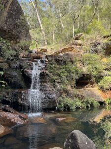
It took us quite a while to get there, but Grey Hat Falls is a beautiful place.

It reminded us again how we have come to live in such a spectacular place here.  When we arrived there were no other visitors, although we met half-a-dozen as we walked back to the car – it’s a well known picnic spot and swimming hole.

Local Walks 6. Bunyan and Bull Ant Lookouts

We went out for a long walk yesterday – down to Glenbrook Creek, then across the creek, up the far side and on to first Bull Ant Lookout, then on to Bunyan Lookout.


A very pleasant six hour walk not quite right from our front door, but from the library at Blaxland, which is only five minutes drive away.

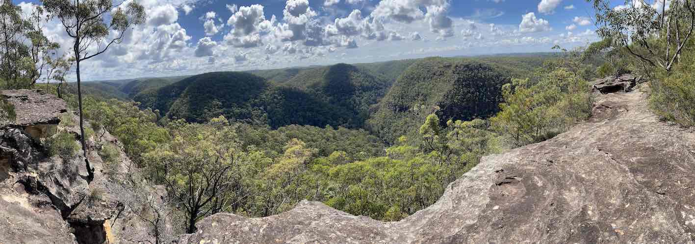
The bush is particularly spectacular at the moment.


The lookout from the top of the rise beyond the creek was excellent.

It is quite an effort climbing up to Bull Ant Lookout, but worth it.

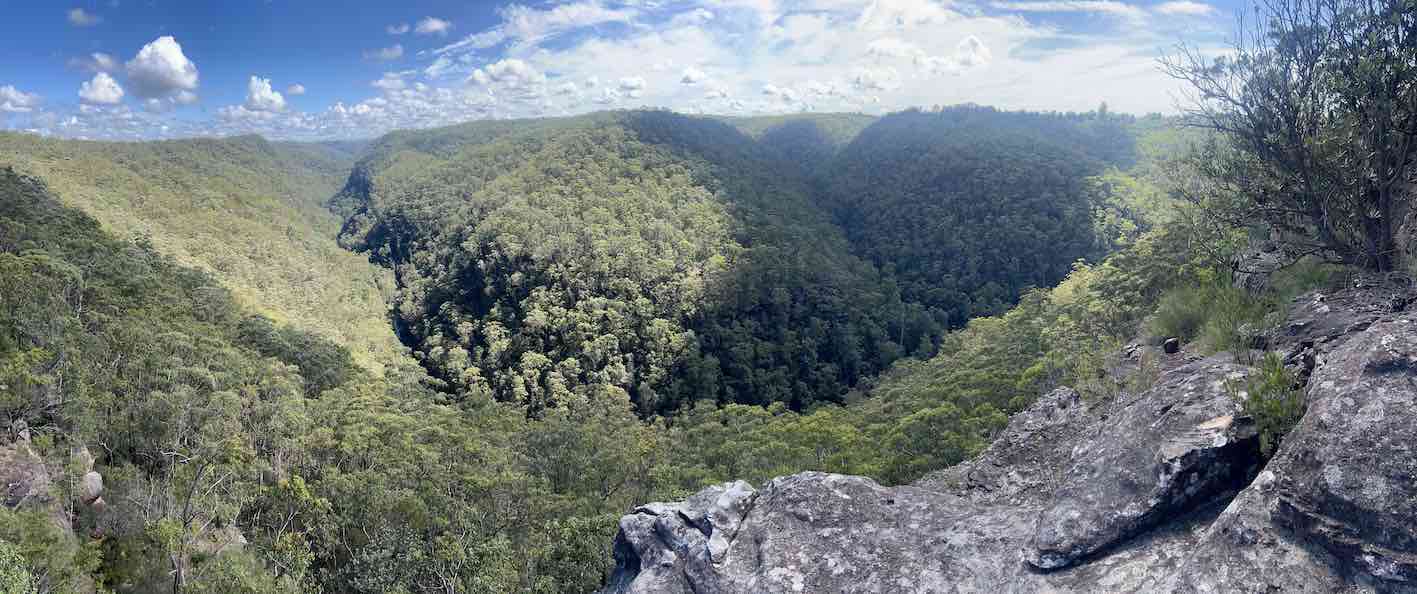
The view from Bunyan Lookout is also excellent, an hour further along the track.  Typically for this are, the paths are along the ridges and the views down into the valleys.

The first Glenbrook railway tunnel

In my recovery from my recent injury (qv), I have been doing some walking locally.  This is one such walk, taking advantage of the fact that I had noticed that the gate blocking entrance to this tunnel had been left open.  The tunnel is only about a kilometer from our house, so I took the opportunity to explore its whole length.

The tunnel dates from the late 19th century.  The first railway up the initial escarpment of the Blue Mountains involved the use of a zig-zag, which created all the operational difficulties that might be expected.  So, as traffic increased, the authorities decided to cut a tunnel up the escarpment instead.  This is that tunnel.  Given that it was on a gradient (severe, for the steam engines of that era) and S-shaped, which leads to wheel-slip, it was not a success.  Within two decades a second deviation was constructed, using a nearby river gully and along the cliff-face thereof.  That is the route used today. 


So the original tunnel lies unused.


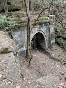
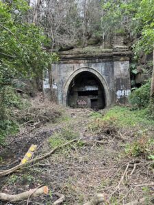
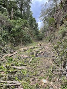
This is the southern/eastern entrance, at the end of a cutting, which until recently was very overgrown, although the council are now clearing it out, as can be seen.


The plan it to create a cycling route from Glenbrook down to Penrith.


Clearly from my viewpoint this is an excellent idea, even if after my most recent bike accident I am going to have to be very careful.


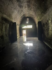
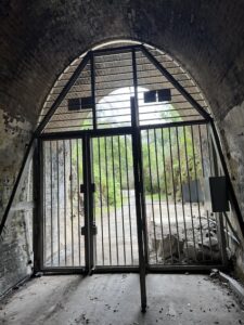
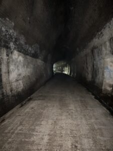
Anyway, I decided to explore the tunnel, previously used for storing RAAF bombs, and subsequently used as a mushroom farm.  This is the southern/eastern entrance, seen from within.  The water level means that gumboots were needed (I had anticipated this).


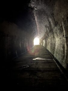
There is almost nothing left inside.  The floor is concreted and the wall brick-lined, so it was very easy to walk up the whole length (a bit less than a kilometer I think), although I couldn’t get out of the northern/western end.  The gate there is still locked.


So there you are: an interesting piece of railway history, only a short walk from our house and only requiring a torch and a pair of gumboots to explore.