Category Archives: Blue Mountains walks
Local Walks 23 – The Grose Valley
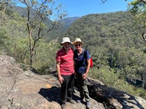
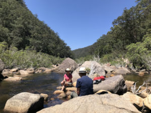
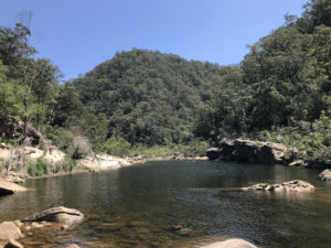
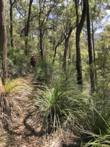
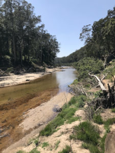
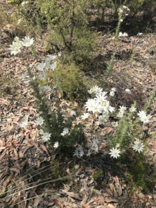
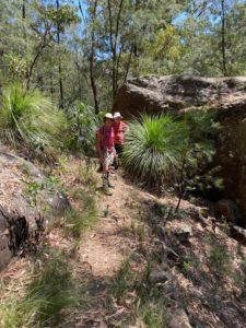
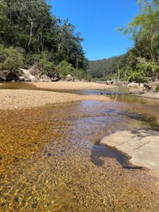 The Grose Valley (pronounced “Gross”) runs west from the Hawkesbury area (actually the river runs down to there) but we walked west up the valley last Wednesday.
It was a beautiful Spring day. Clear blue skies, and by the end of our walk it had reached nearly 30 degrees. Almost no clouds – just enough for the pictures.
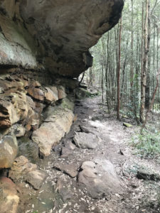
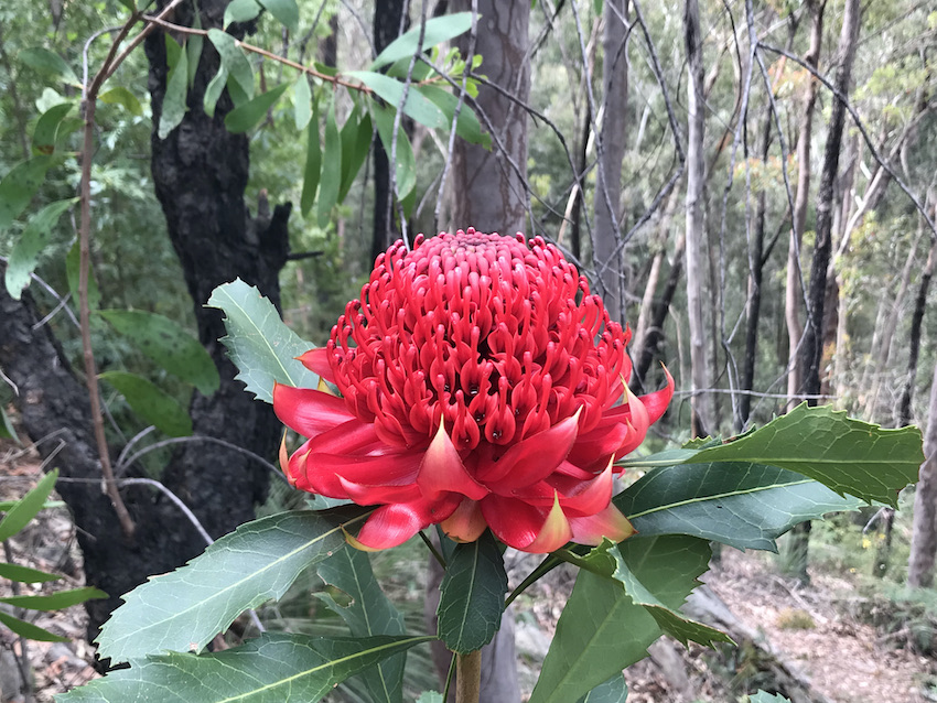
Not really like walking in Europe, though – the vegetation is so different. Many “Grass Trees” (aka “Black Boys” in less politically-correct times). These are black stumps about 20cm across with a shock of long thin green leaves coming from the top. After fires they shoot out a tall stick upwards to produce seeds and spread them to the wind – after fires so that the ground has fertile ash to receive the seeds. They are very slow-growing, and a specimen a metre high could be a hundred years old, apparently. There are several in the pictures, and at times we were following a path pushing through clumps of these unusual plants.
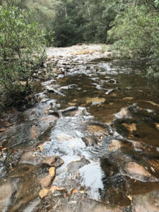
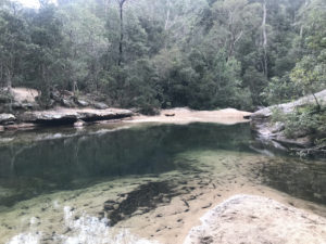
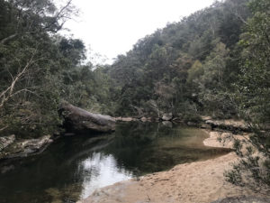
The river was at a low level, but there were signs that when it is in flood, as it has been recently, the water level can rise several metres. On the other hand, it is now just beautiful clear water in gentle flow past sandbanks and down minor rapids. It was lovely just sitting back drinking coffee and eating cheese and biscuits, listening to the rapids and the birds tweeting (and an occasional squawk from a cockatoo).
Not Local Walks (2)
Not at all local, although the eventual destination is not far from our other Not-Quite-Local walks such as Mount Hay (N-QLW 6). We had to drive right up to Mt Victoria, then part-way down the Bells Line-of-Road to start this walk. We joined some other very experienced Blue Mountains walkers: Bill (an ex-Yorkshireman), three ex-Brits (incl. David) an ex-Uzbekistani (Yuli) and three Australian born-and-bred walkers. A magnificent day out.
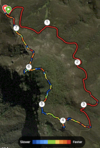
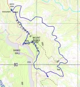
The left-hand trace is from my Garmin watch, the right-hand map from Bill’s record of our day out
https://www.dropbox.com/sh/d01pncpu1jmceqr/AAB1OyT0Zo1zPTRikhEwcCi0a?dl=0
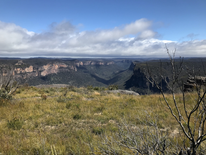
To start with, the scenery is magnificent. The tablelands (where the roads and settlements are) is cut into by steep-sided valleys, creating “walls” of sandstone, which might easily be 50-100m high, dropping down into valleys covered by gum-trees either side of the creeks. There are fire-trails (access roads just cleared of trees but very rough) penetrating these areas. The height of the tablelands makes the peaks look slightly less impressive, but Mount Banks, for instance, is over 1060 meters high.
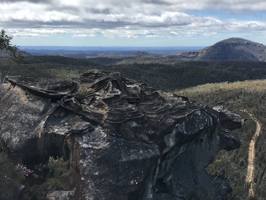
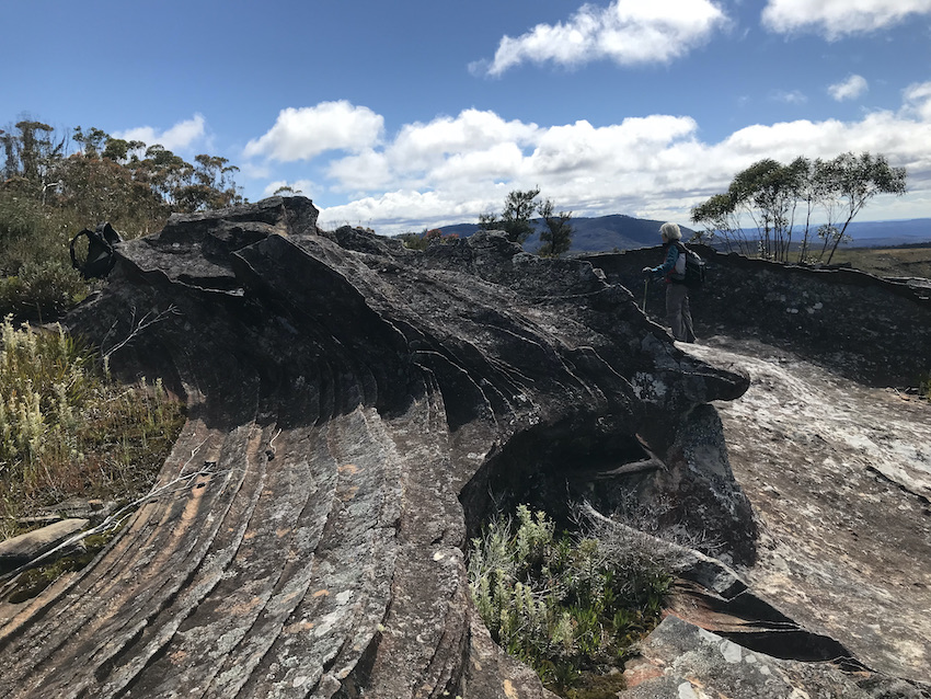 We stopped on the way to look at these extraordinary patterns of erosion in the rock (Click to enlarge as ever). Apparently as the sandstone is laid down, intermittently something gets into the layer which makes it harder to erode, hence the “ripple” effect.
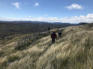
On the way down we were buffeted by seriously strong wind. This photo. doesn’t really do it justice, but at times it was difficult to stand, let alone walk across rough ground.
A great day out.

