Category Archives: Blue Mountains walks
Protected: Local Walks (16) – Duck Hole and Red Hands Ridge
Protected: Local Walks (15) – The Red Hands Cave walk
Not-quite Local Walks 4 – The Bushrangers Cave and Rienits Pass
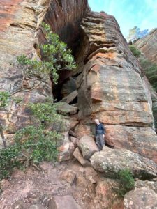 Another walk from Blackheath, but the other side of the highway from Porters Pass (see NQLW3): this one is on the western side, with views over to the Kanimbla and Megalong Valleys.
As usual, there was a long downhill scramble first, down a zig-zag “road” down which pack-horses were led to carry goods down to the Kanimbla Valley, and produce in return up the (very steep) hill. Poor horses.
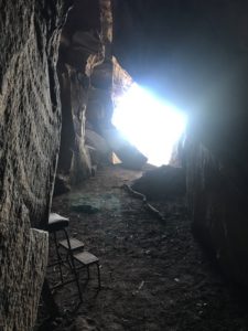
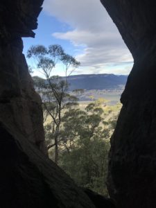
Near the bottom is a cave where in the 1850s someone found an old piece of newspaper printed in the 1820s, with an article about prisoners escaping from a local prison. So with a leap of imagination it became an outlaws’ lair. A “Bushrangers Cave” in local parlance.
Not a comfortable home, I suspect, and @#$%&* cold in winter, no doubt.
A beautiful view to wake up to, though.
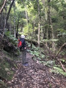
After admiring the real estate, we walked on through Rienet’s Pass. Another of these beautiful paths which essentially go from no-where to no-where else, made to attract Victorian (Edwardian?) tourists.
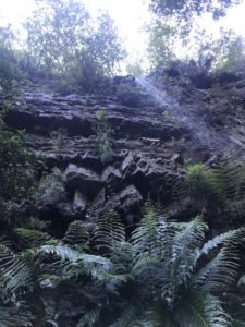
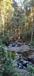
They remain a tourist attraction now, of course. The waterfalls are tremendous and the streams through the gumtrees are lovely.
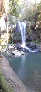 I think that in many countries each one of these walks would be regarded as a major drawcard for an area. Here there are simply so many spectacular walks/views/waterfalls/rock formations.
Protected: Not-quite Local Walks 1 – Lockleys Pylon
Protected: Not-quite Local Walks 3 – Porters Pass
Protected: Not-quite Local Walks 2 – Victoria Pass waterfalls
Local Walks (13) – Floods
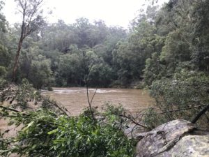
Well, we have had droughts, bushfires, plagues (of mice, in country areas), and now floods. We have had more than 520mm of rain here in Glenbrook over the last ten days – on the weekend the rain gauge overflowed after 280mm so I know it was at least that, but probably more.
 Above is the Causeway across Glenbrook Creek in the Blue Mountains National Park. The markers show the water level is about 2m above normal, and a massive flow of water is going down to the Nepean River.
I first went down to the “Jellybean Pool”: (click to enlarge, as ever)
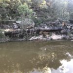
The area is usually a peaceful pool for swimming – unthinkable now.
[ 48 hours later the level had fallen by about 2 metres -> ]
Here is Blue Pool, also a raging torrent.
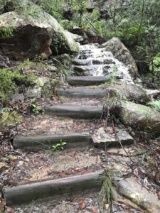
I had bought some gumboots to manage this walk. With water cascading down the steps, it was just as well.
