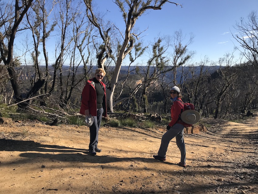
Last year I started a series about walks local to our (then new) house in Glenbrook. This is another “local walk” although it actually starts near Katoomba, so calling it local is a little bit of a stretch – it took us about 40 min. to drive there.
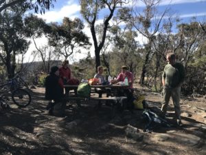
I went with Marchelle Madden, a local friend, and part of the walking group which she has become part of. They are a varied group of people of about our age. Actually according to Marchelle they vary from early 50s to early 80s (although the early 80s ones are in very good shape for their ages apparently). The group on this day were also keen bike-riders as well as walkers.
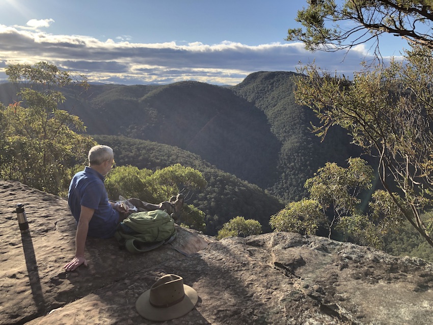
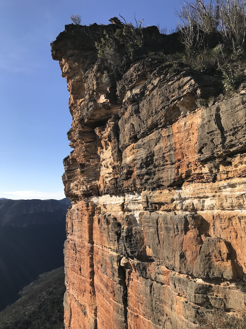
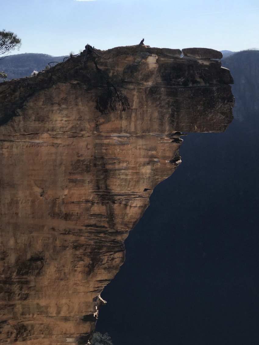
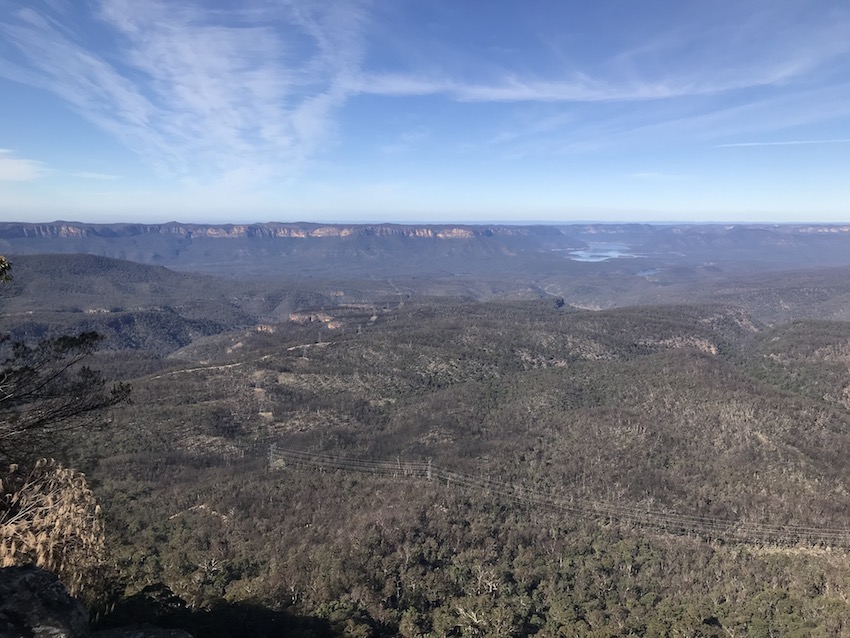
 This is a picture of the group, taken with the “panoramic” ability of my iPhone. We started off at the end of the Narrow Neck ridge, south of Katoomba, cycling along the fire-trail towards the upper reaches of Warragamba Dam. We left the bikes at a fire tower before walking to Carlon Head (where the above panoramic view was taken). Magnificent views over the valley below, and such sights as Ironpot Mountain, Ironpot Ridge and Breakfast Creek.
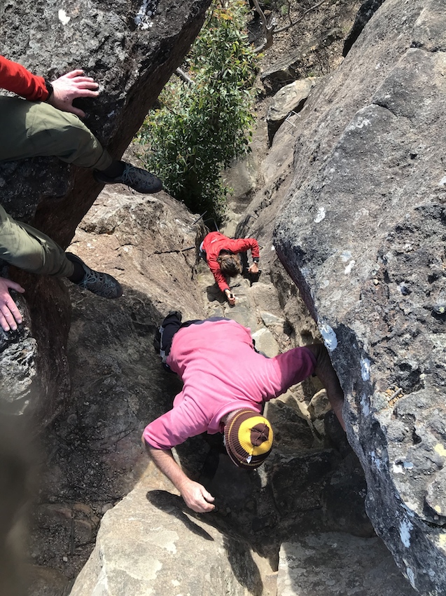
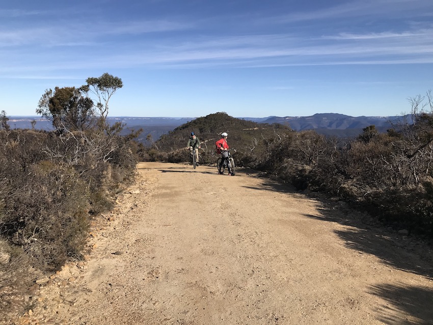
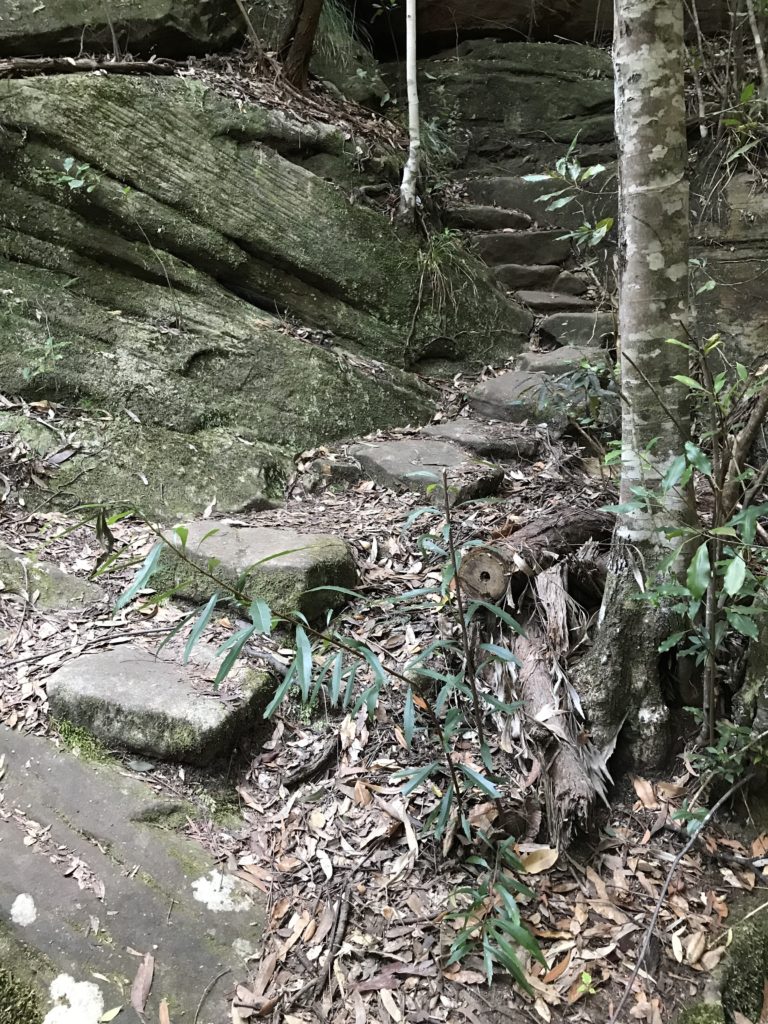
Back on the bikes and along to the Tarros Steps at Clear Hill.
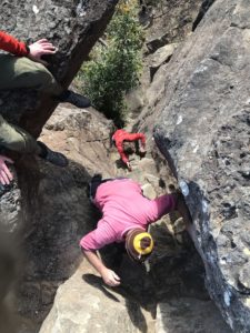
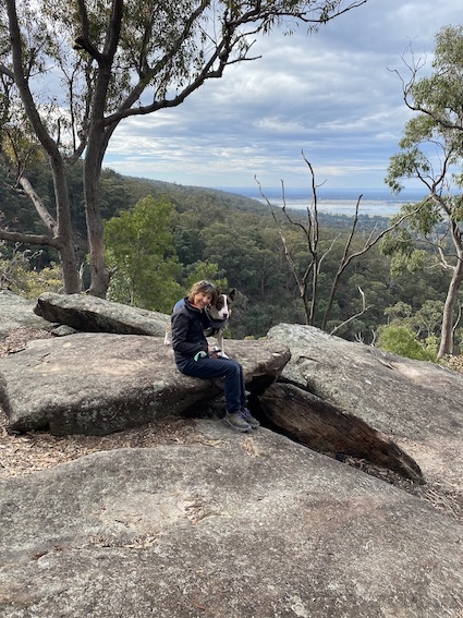
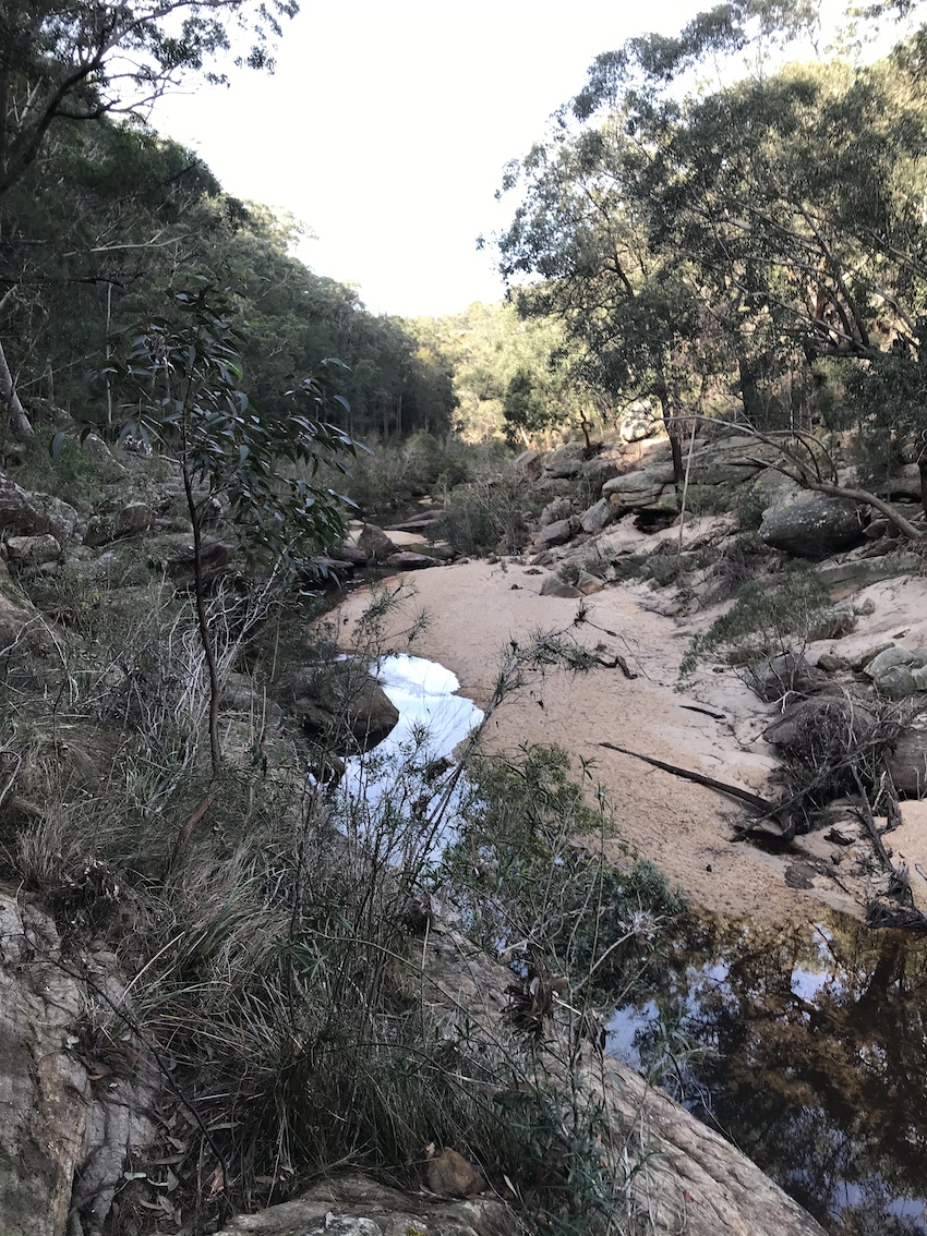
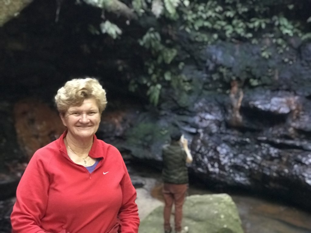
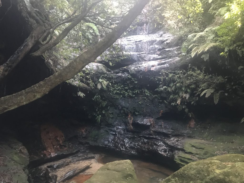
The steps are to take you down to Duncan’s pass, and although we climbed down them, we did it really just to say that we had, and that was the furthest point of our walk/ride.
It was a lovely day out, covering a lot of ground – we cycled about 20km and must have walked/climbed for several hours as well. A cool winters day with clear skies made if perfect for the walking.
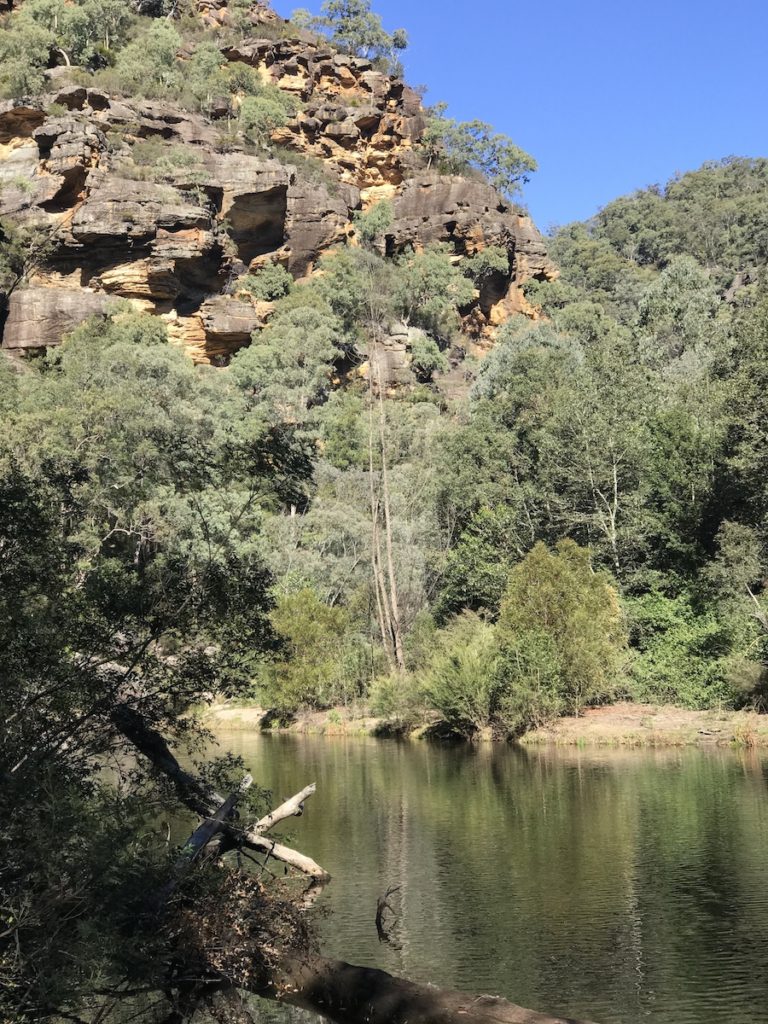
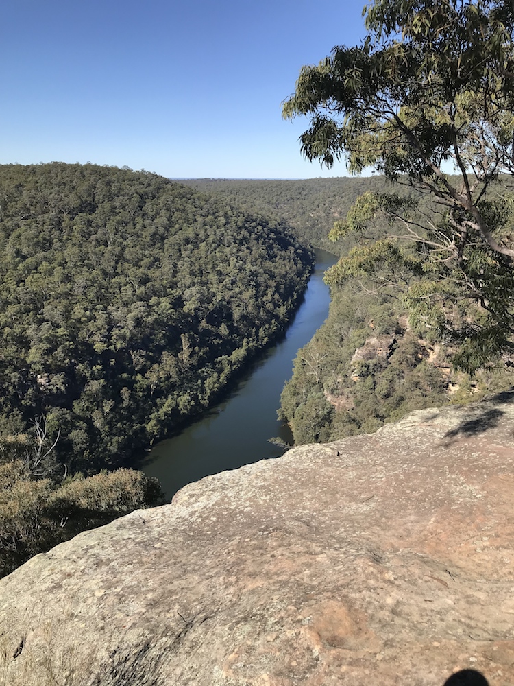
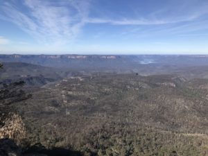 Some truly magnificent views, this being the view over the Warragamba Catchment Area (which you are not supposed to enter of course).

The cycle back seemed arduous of course, but a lovely day out.


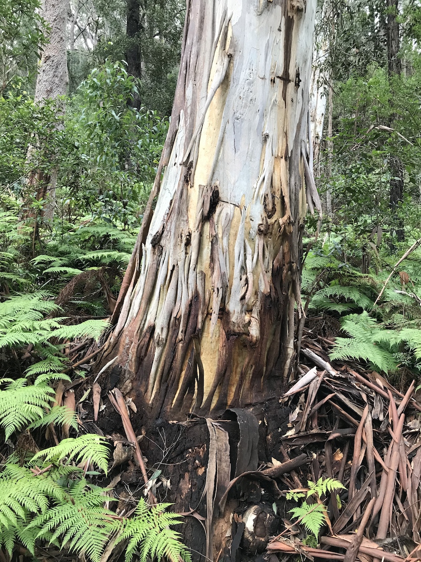


 Click to enlarge
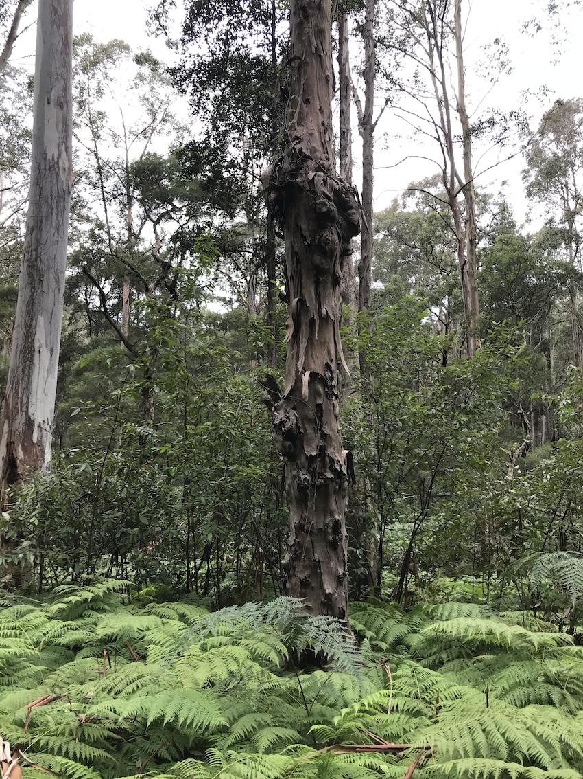