The Kimberleys Day 16

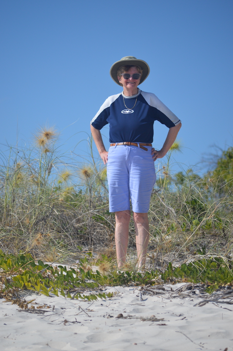
We have finished the tour really, just the helicopter flight from Naturalist Island to the Mitchell Platreau airstrip, then a 2-hour flight back to Broome.

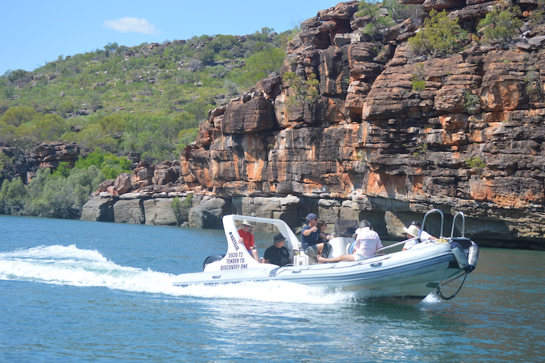
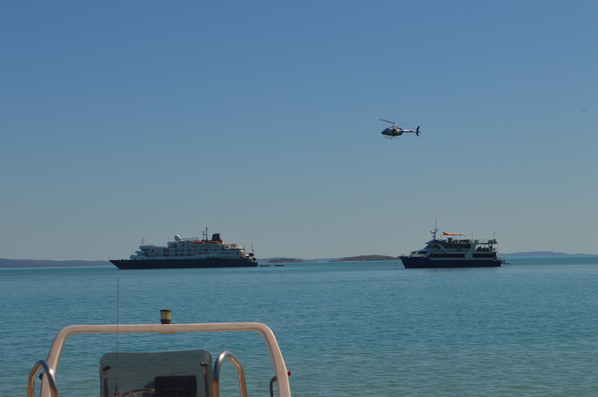
This is a picture of our ship, with one which carries over a hundred passengers behind it.

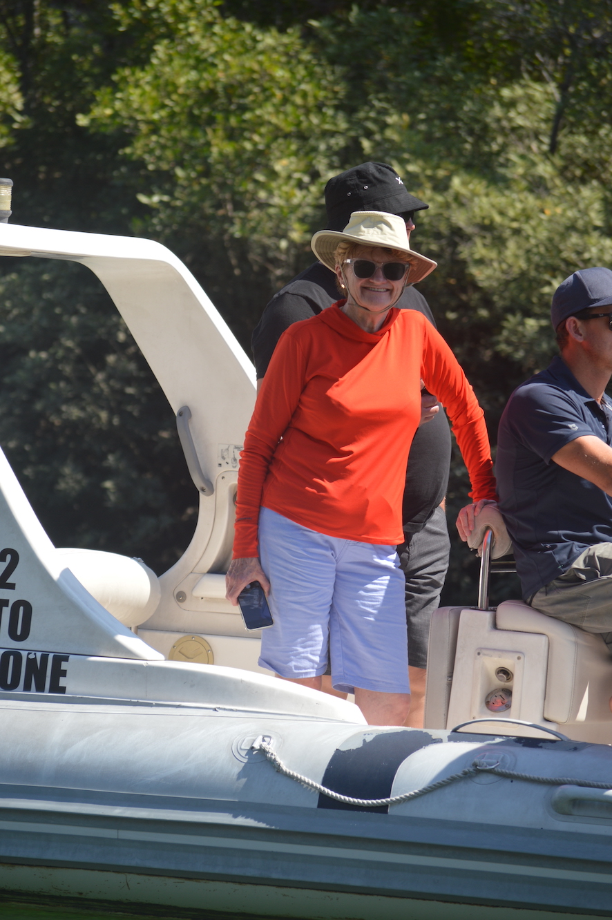
Our crew were staying on with the replacement group of guests looking much more frail and much less mobile than our group was.

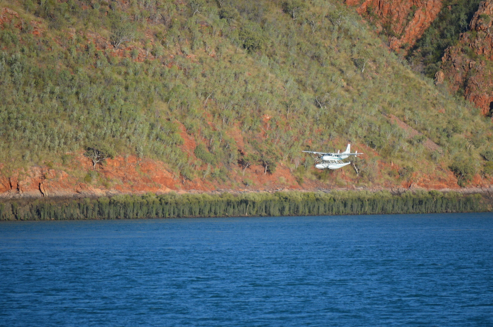
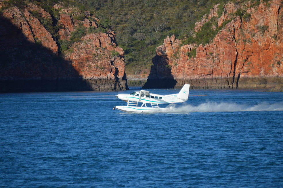
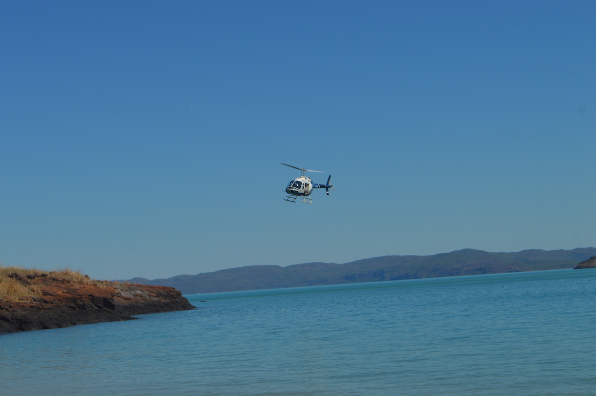
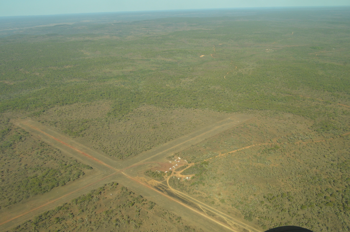
The helicopter ride was my first for over twenty years, and was very exciting.  Several helicopters were using the beach at Naturalist Island for sight-seeing tours (for the larger ship), and to transfer the 19 passengers from our tour the half-hour flight to the airstrip, including scenic loops over the Mitchell Falls


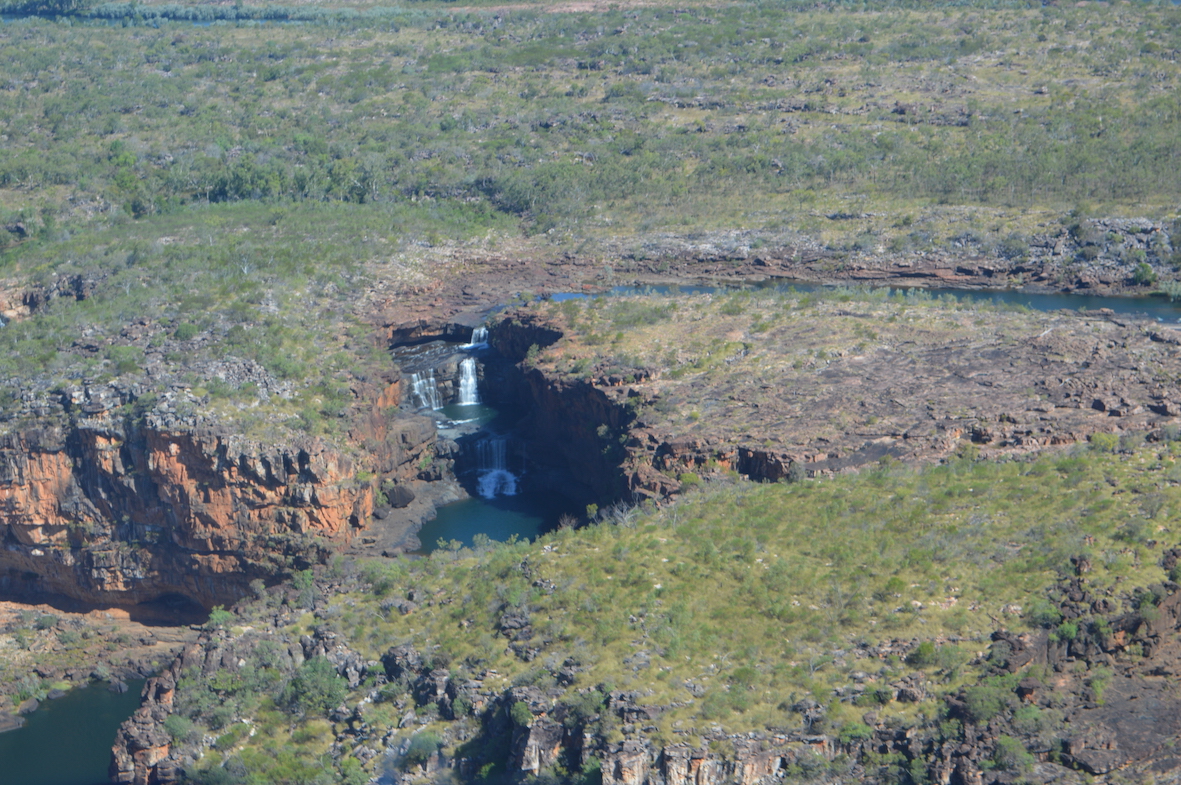
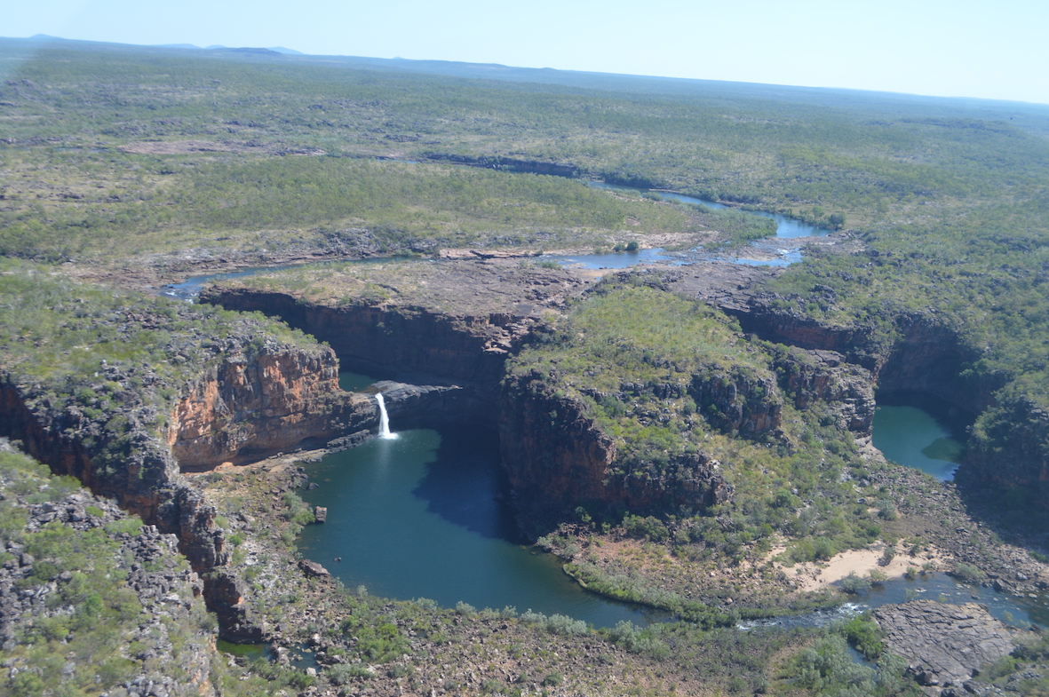
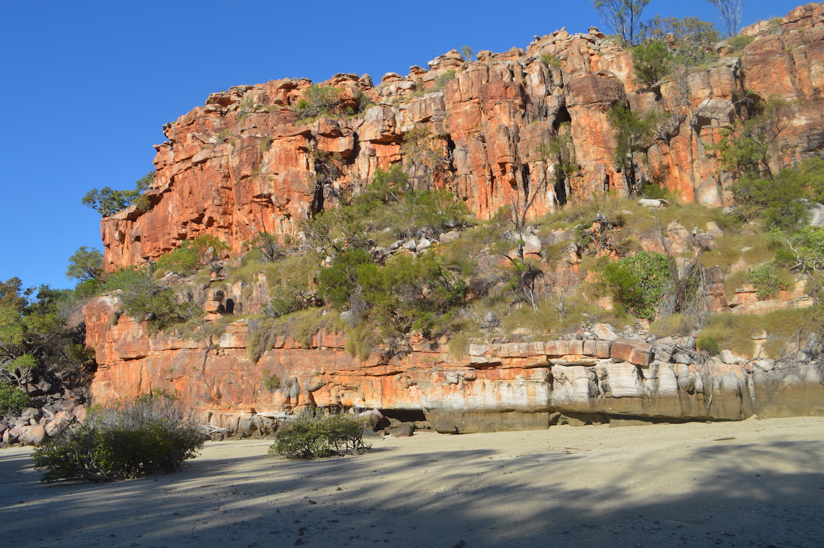
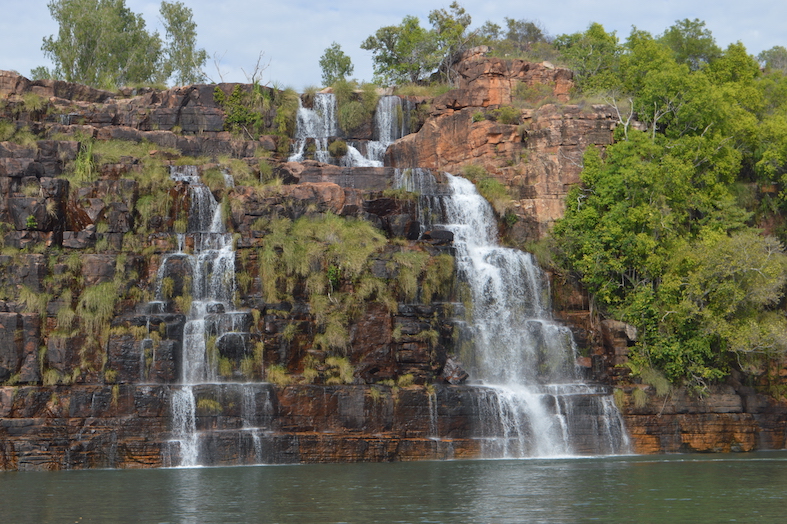
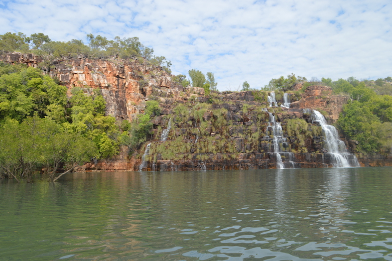
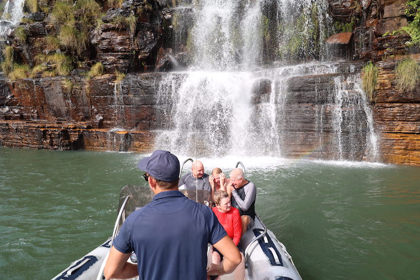
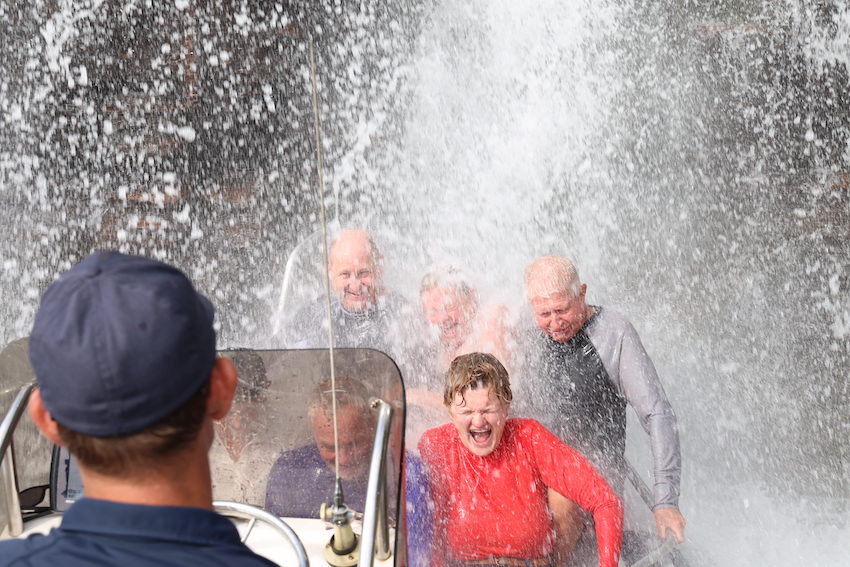
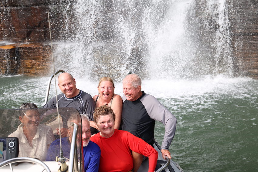
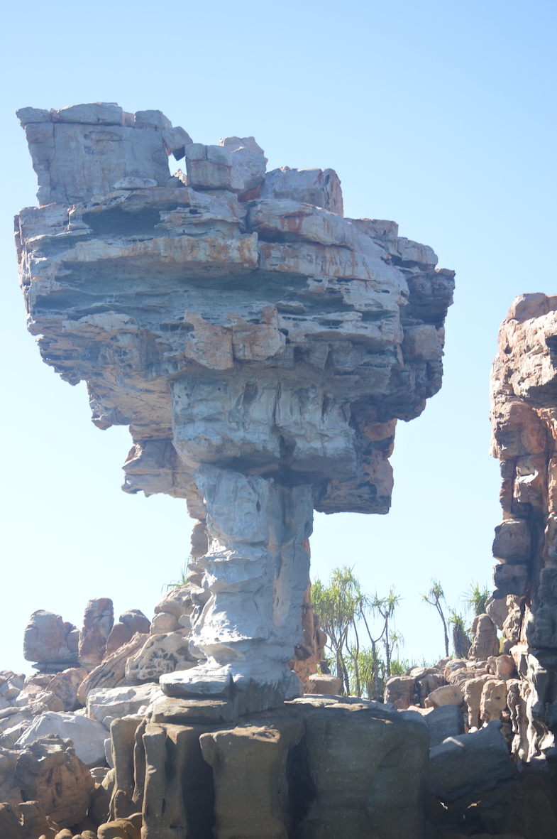
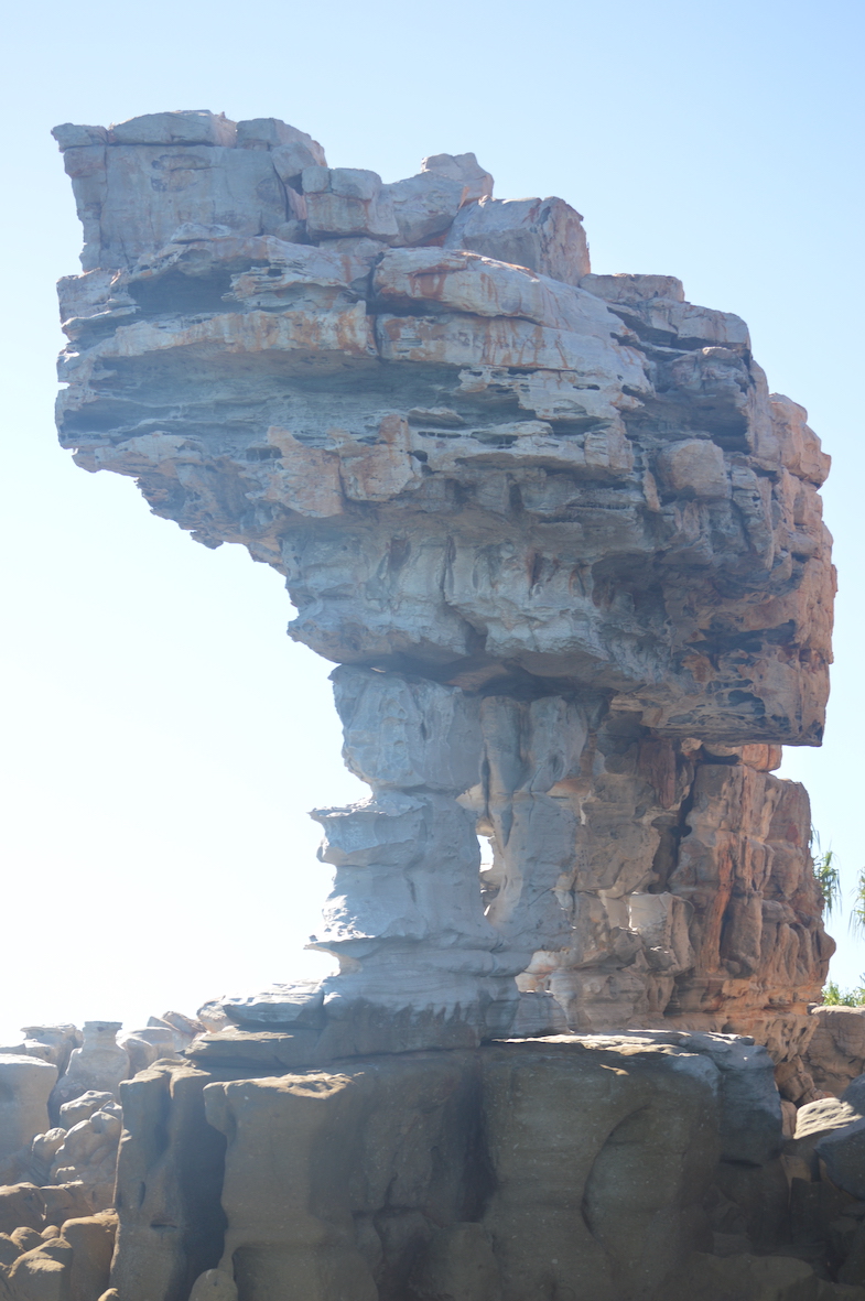
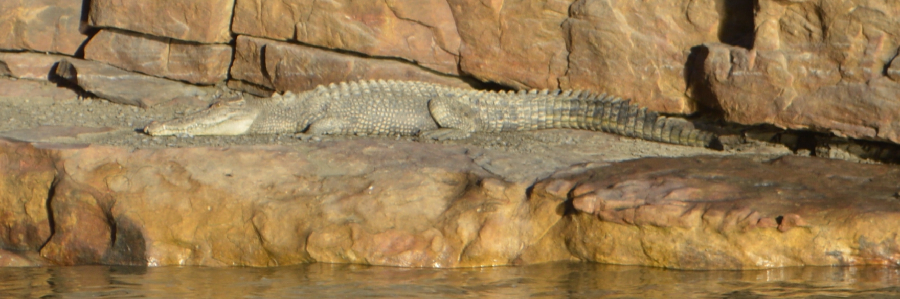
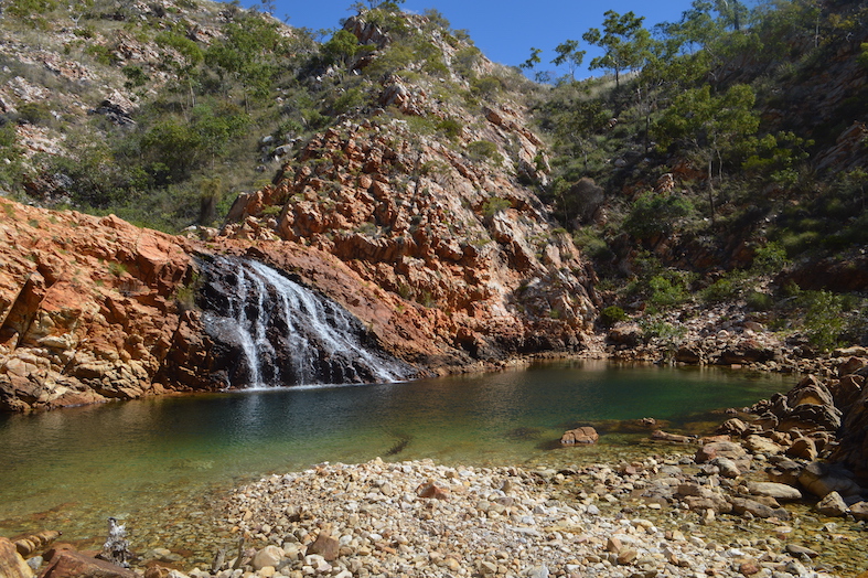
On the Michell Plateau the waterfalls are spectacular seen from the ground, but less so from the air, despite their being the greatest drop over multiple levels in Western Australia.

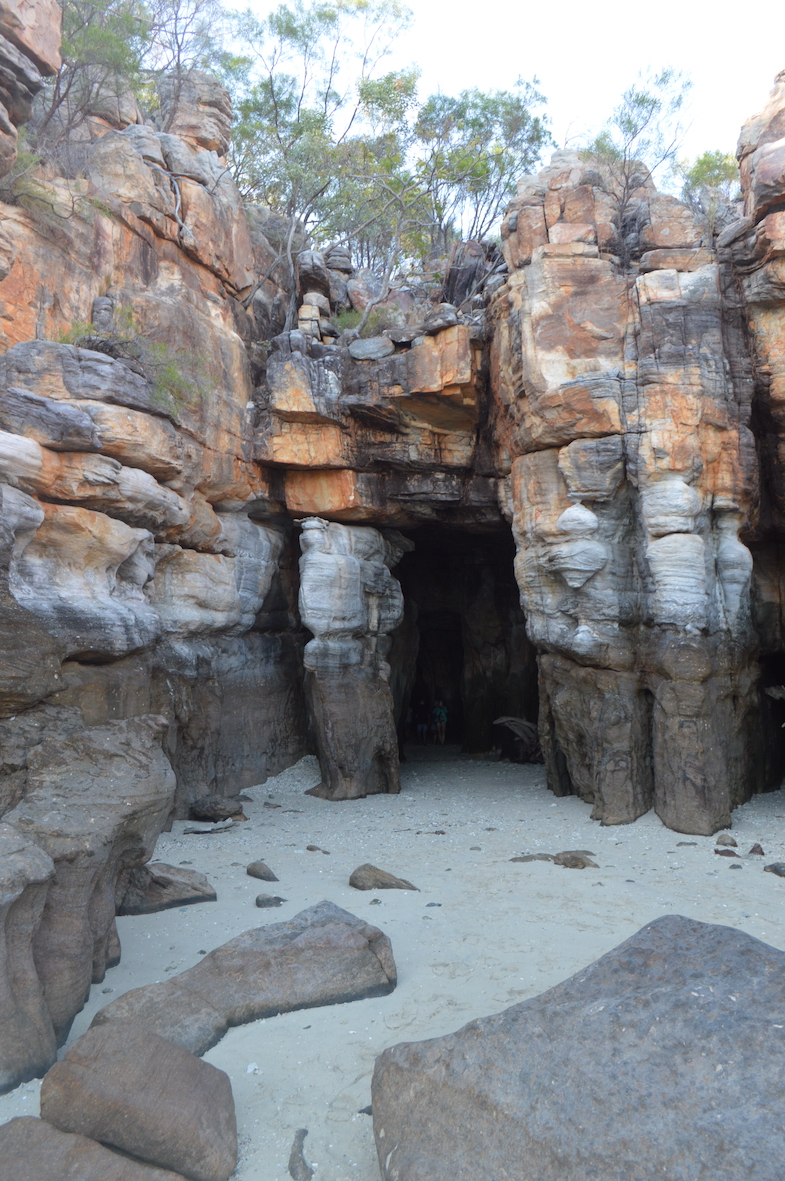
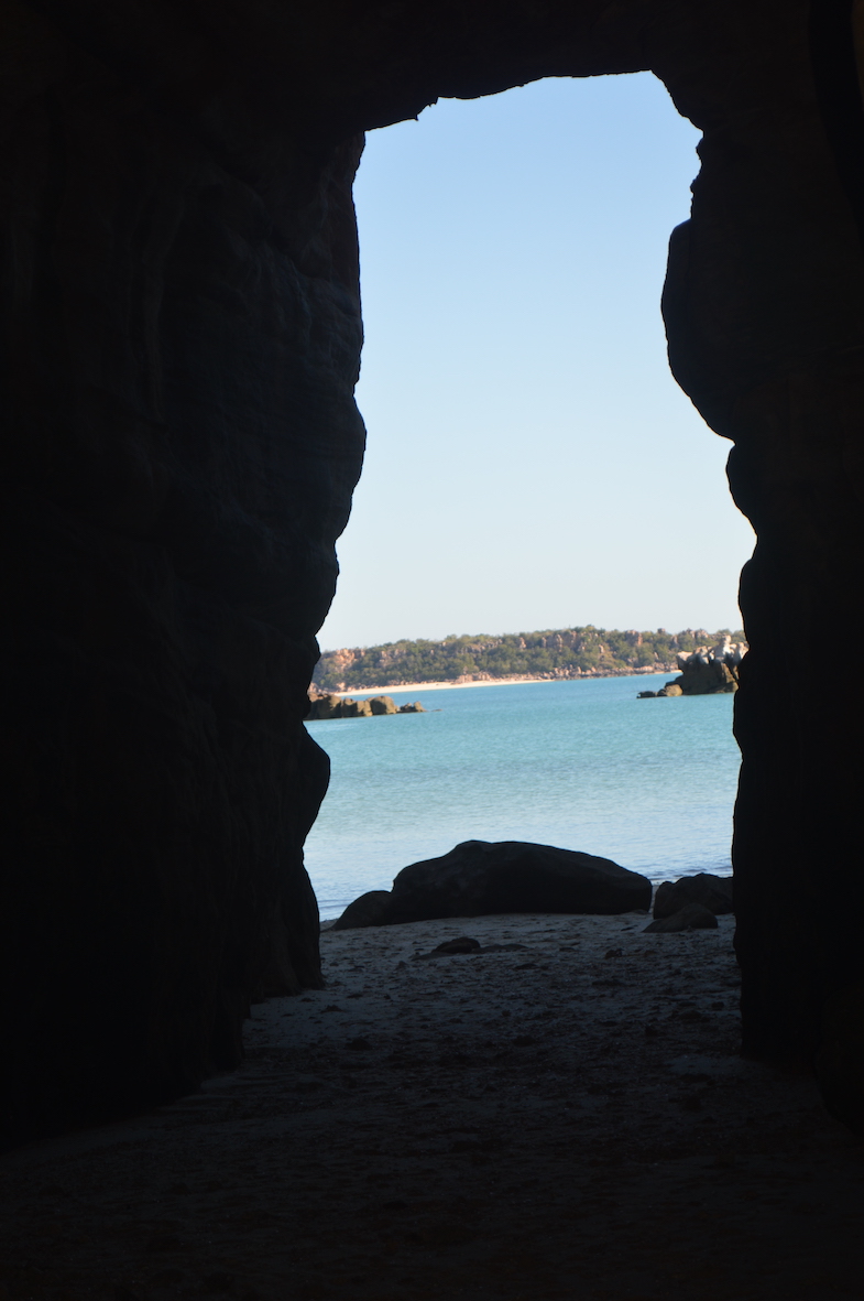
Best seen from the ground, I think.


The aeroplane journey from the airstrip was in a small-but-12-seater ‘plane., over the Kimberley coastline up which we had just travelled, including a figure-of-eight loop over the Horizontal Falls (Kimberley Day 8).


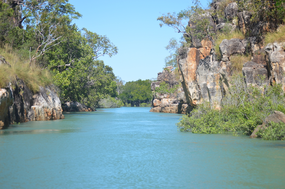
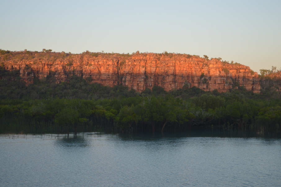
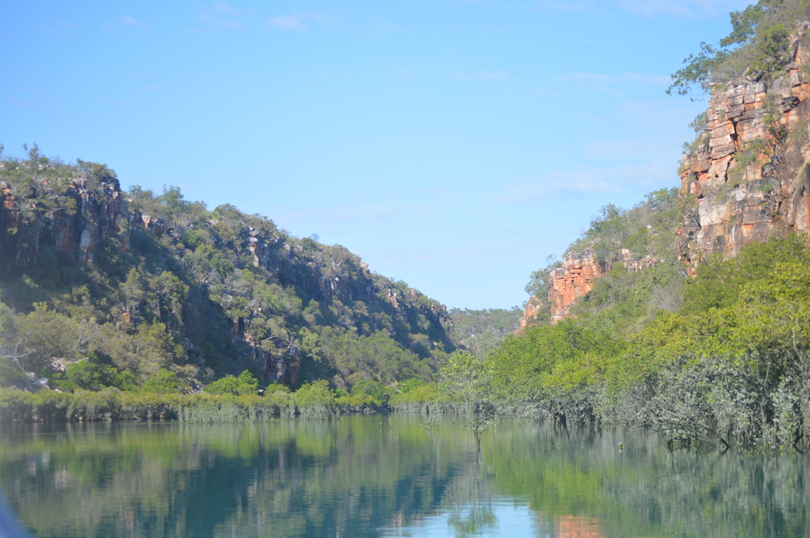
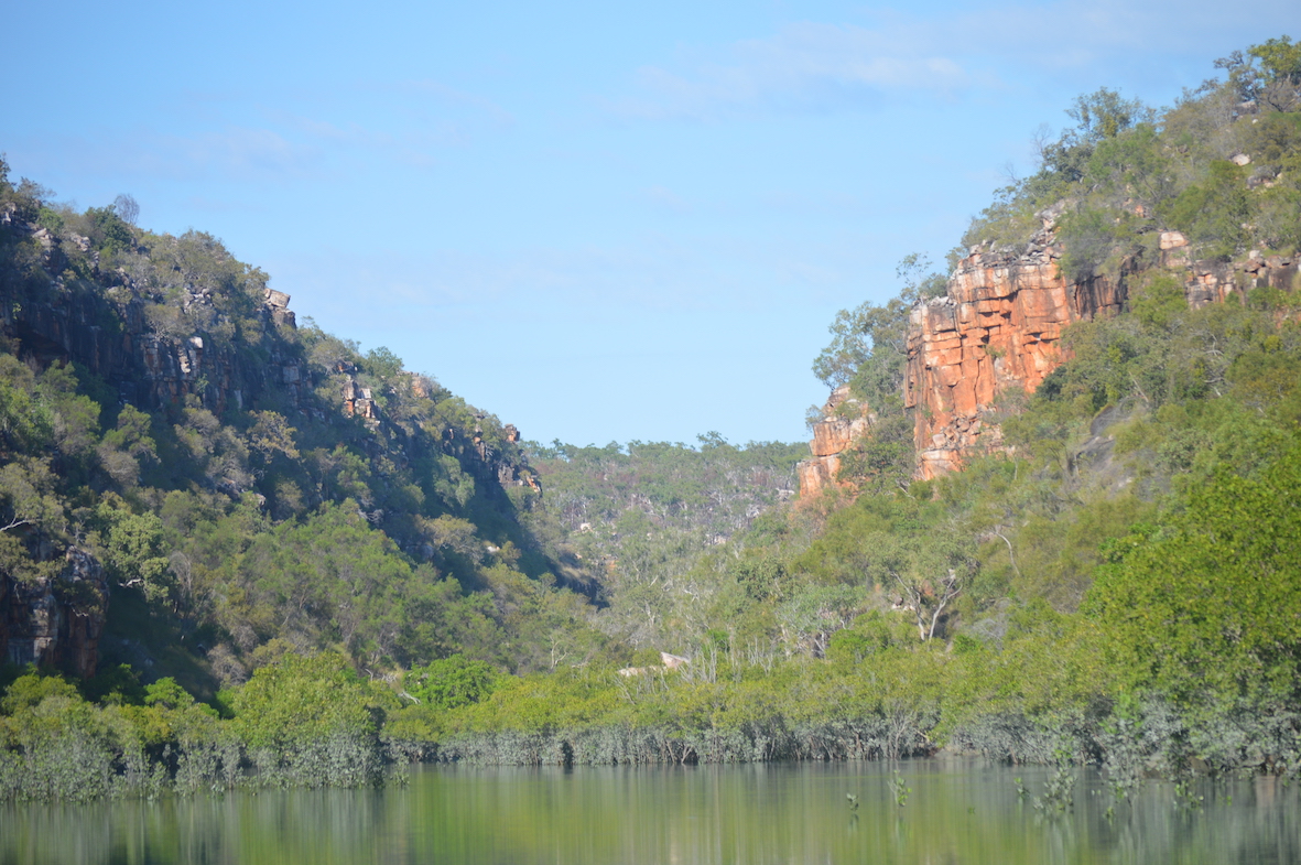
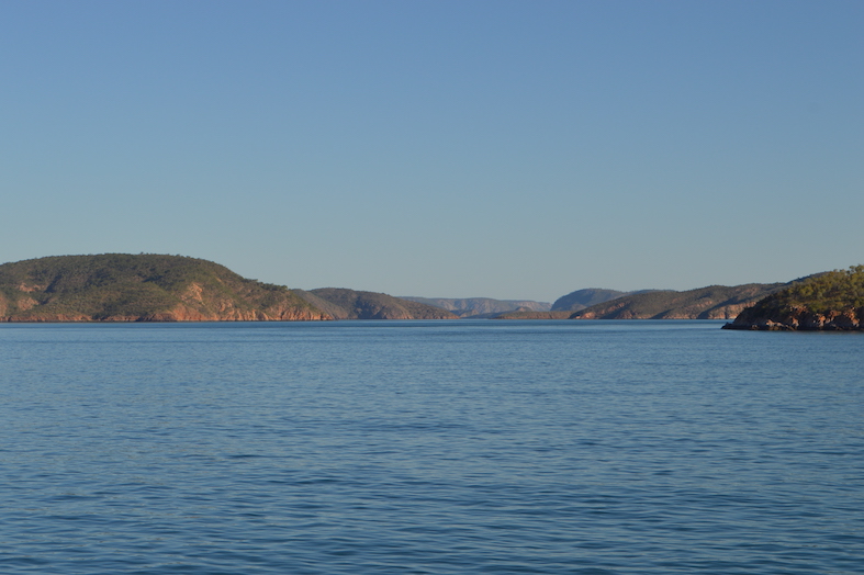
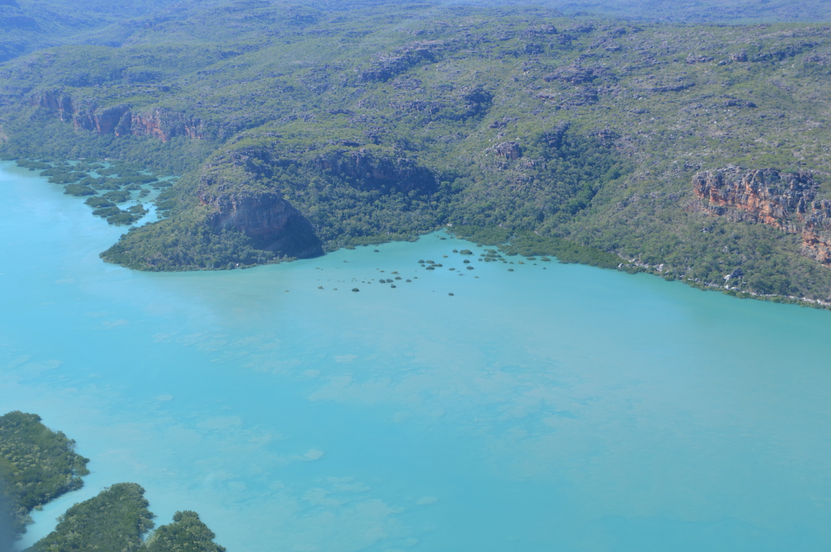
It was interesting to try to identify points of interest seen previously at ground level (water level?).  Above in the centre is an area of mangrove previously seen as a dry mud area, as we stayed overnight anchored to the channel on the left (Kimberley Day 11).

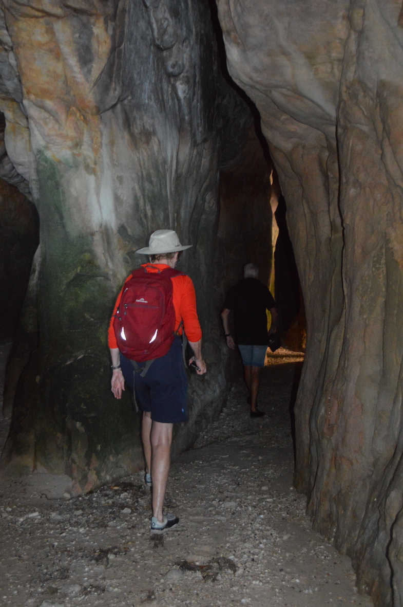
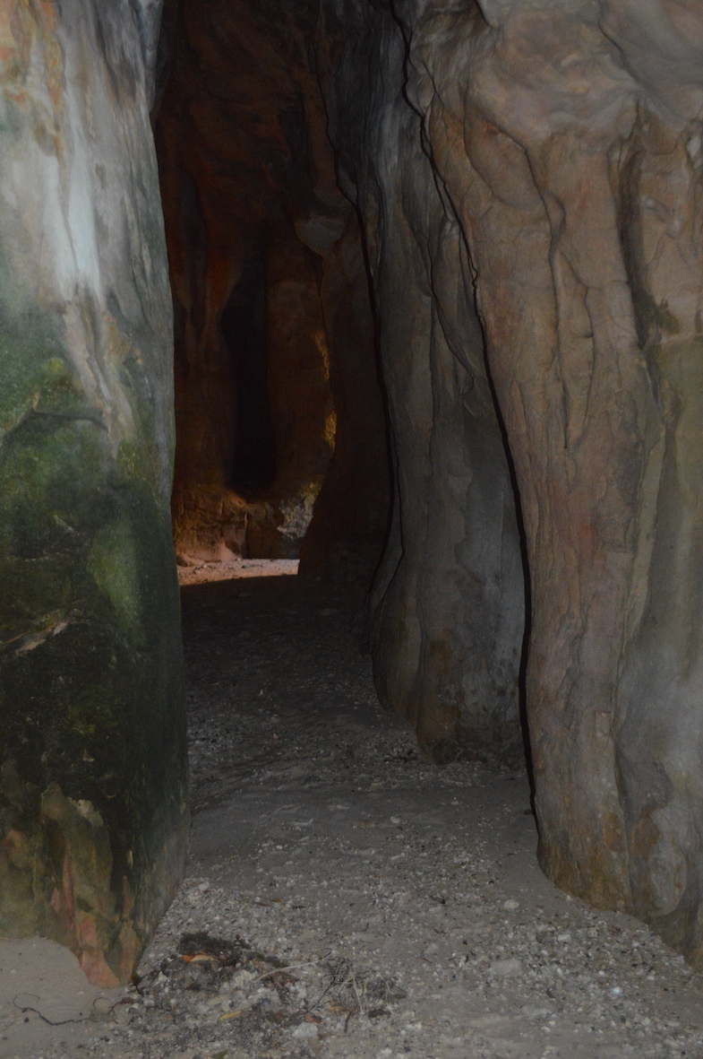
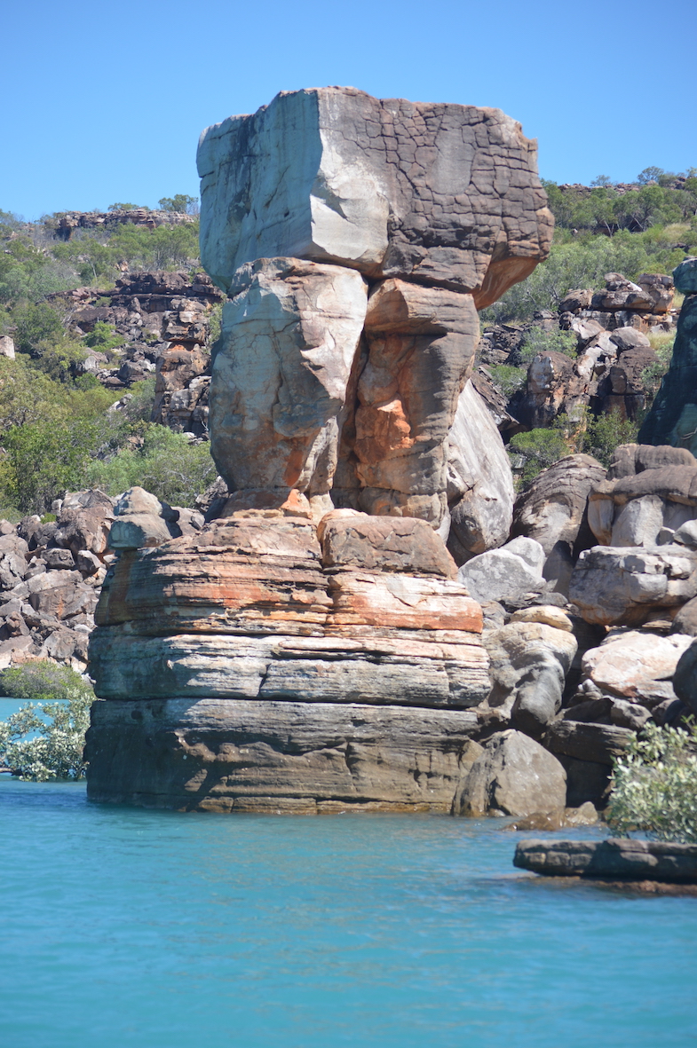
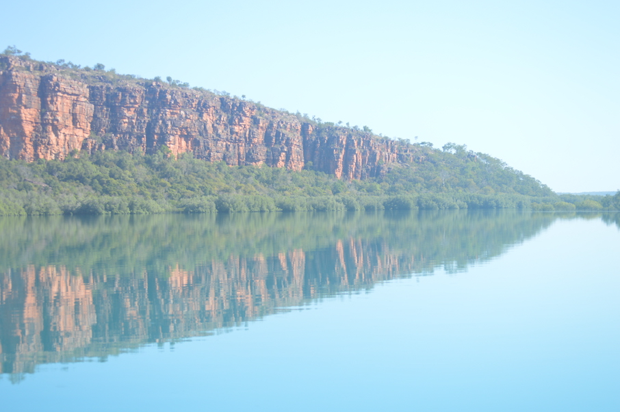
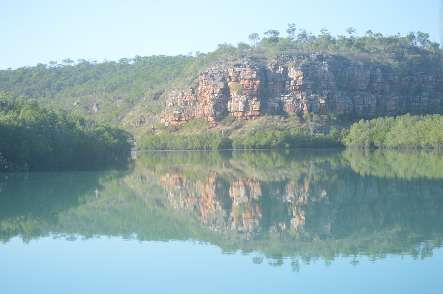
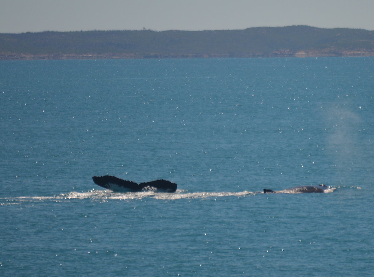
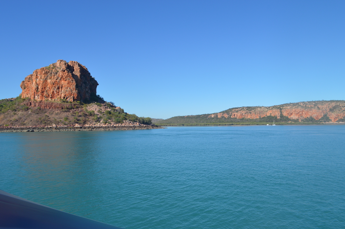
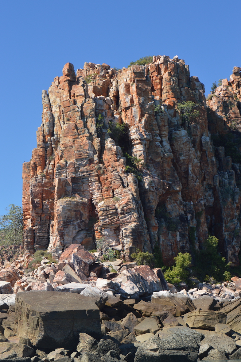
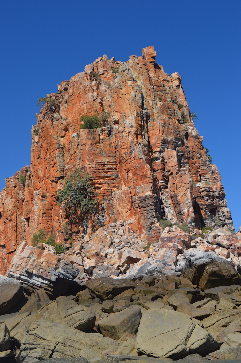
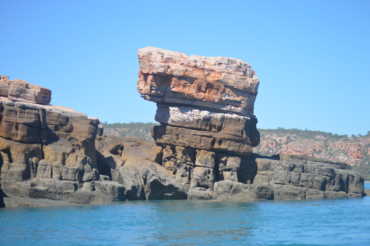
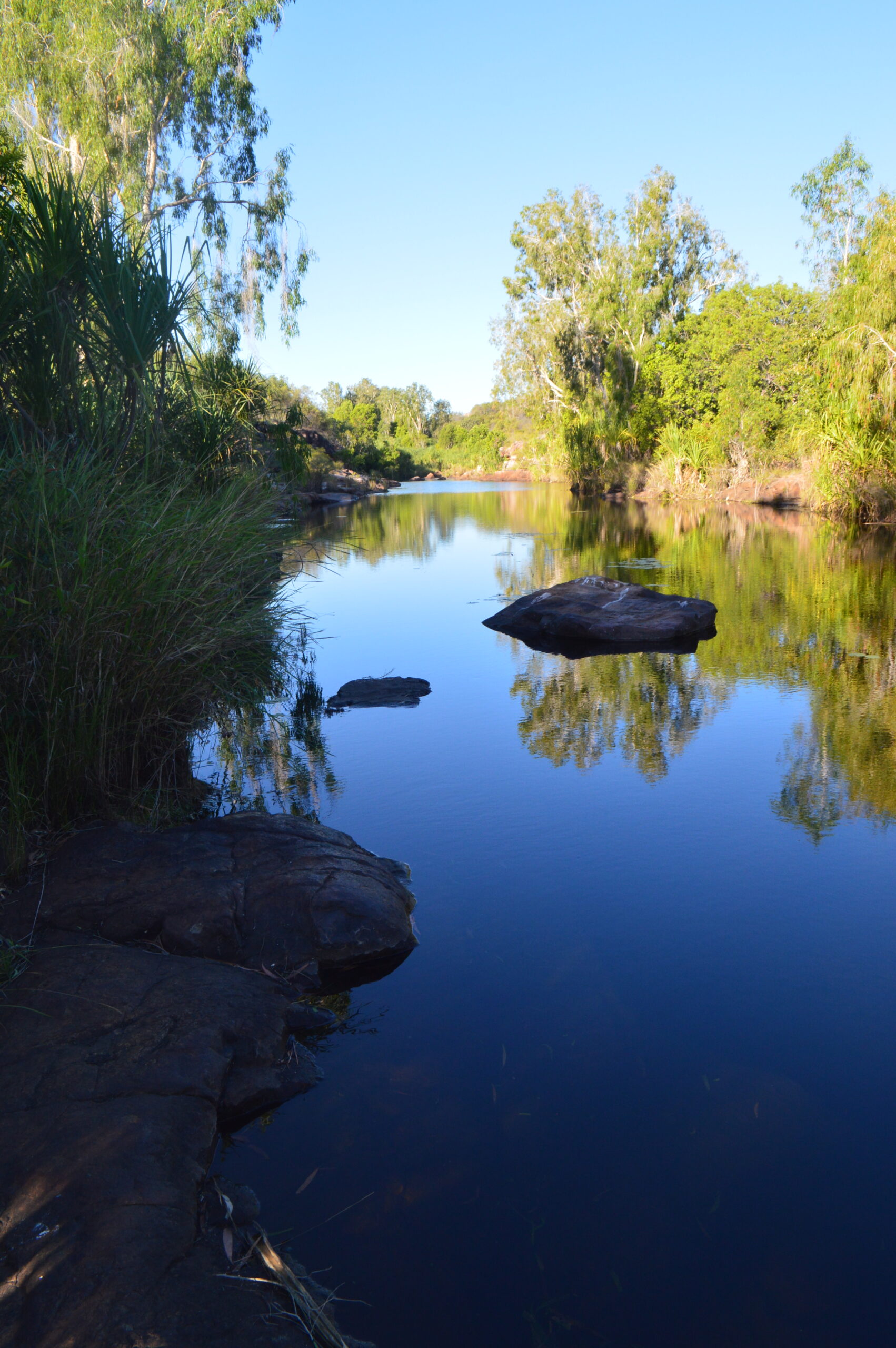
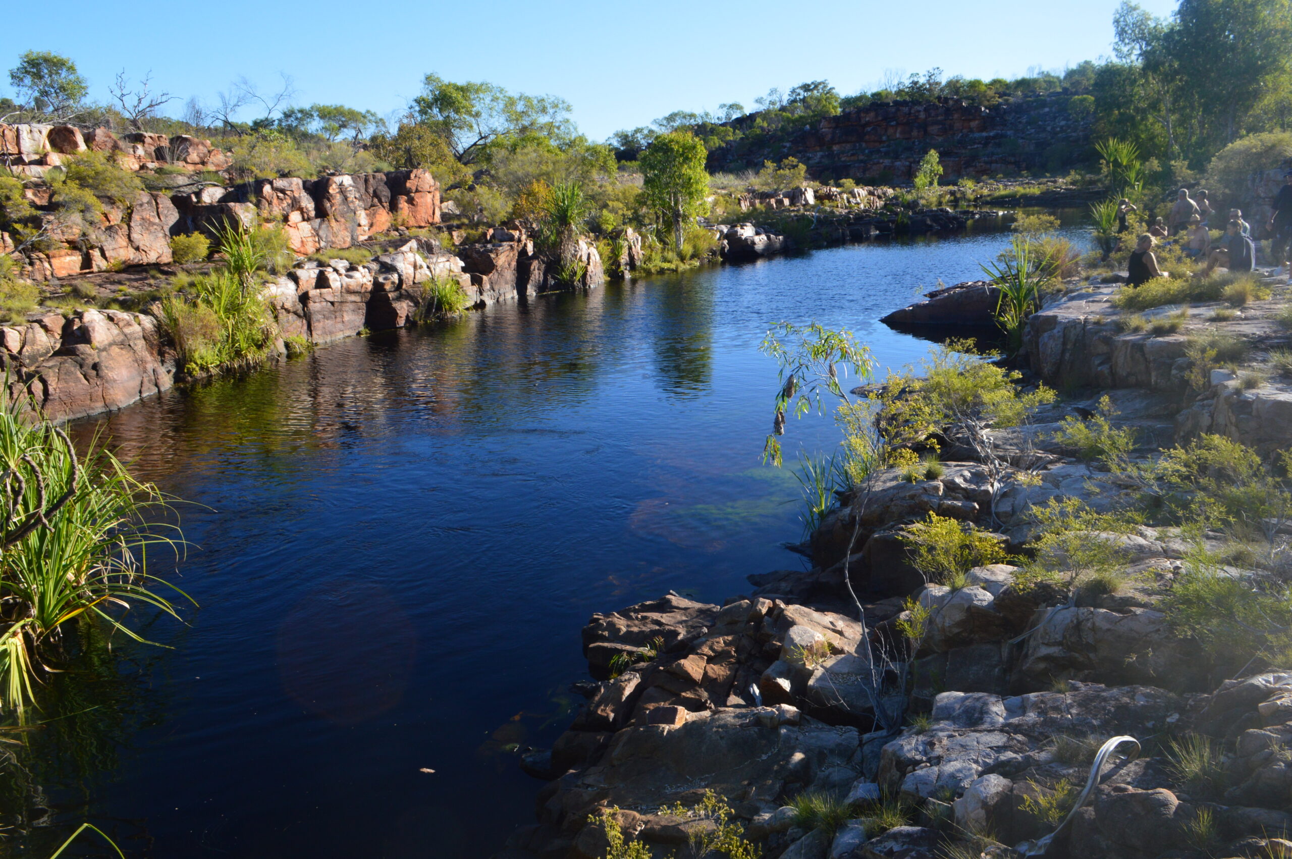
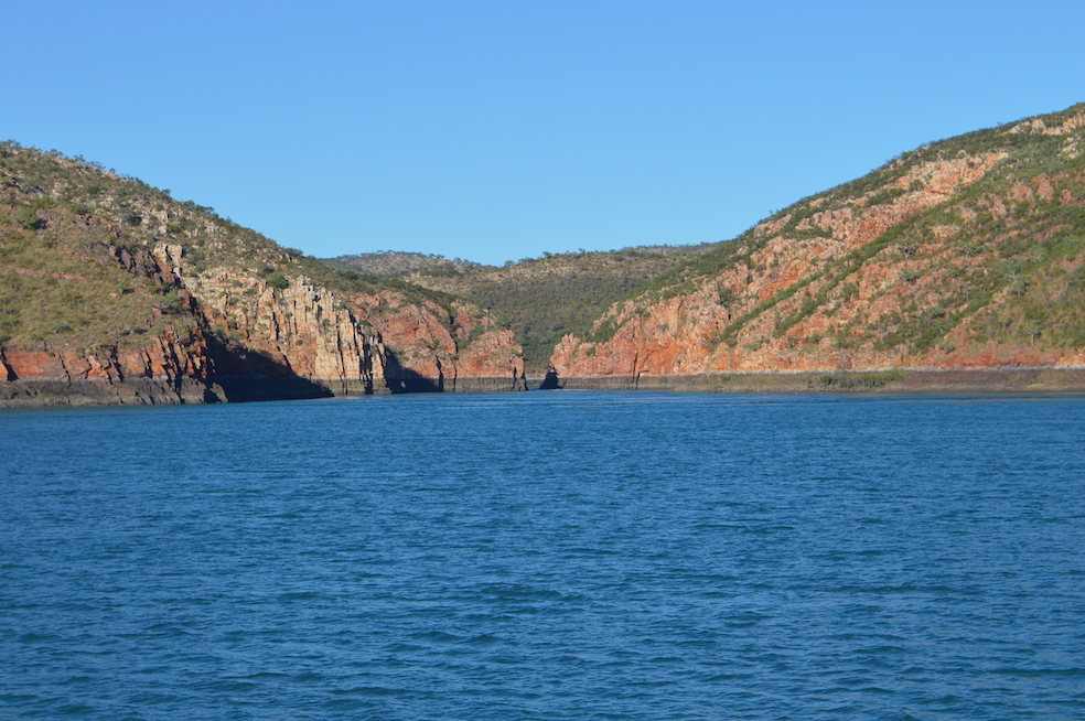
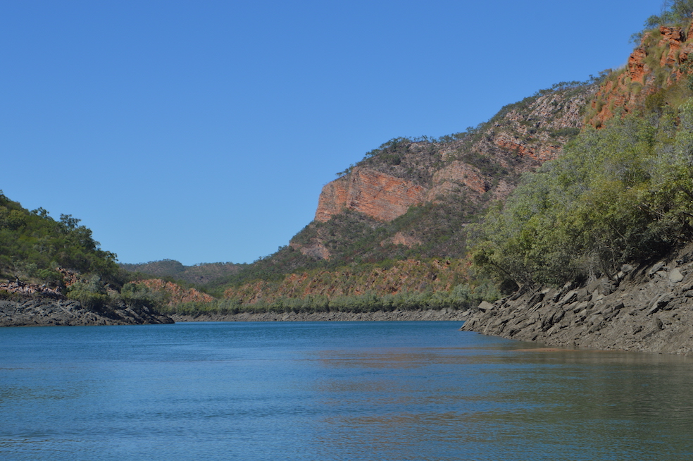
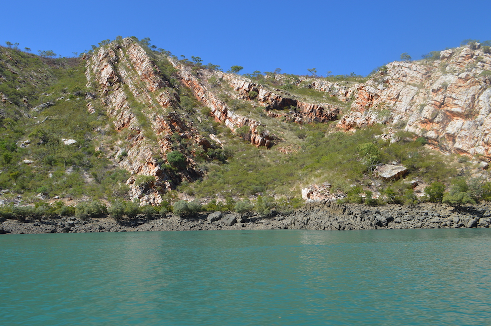
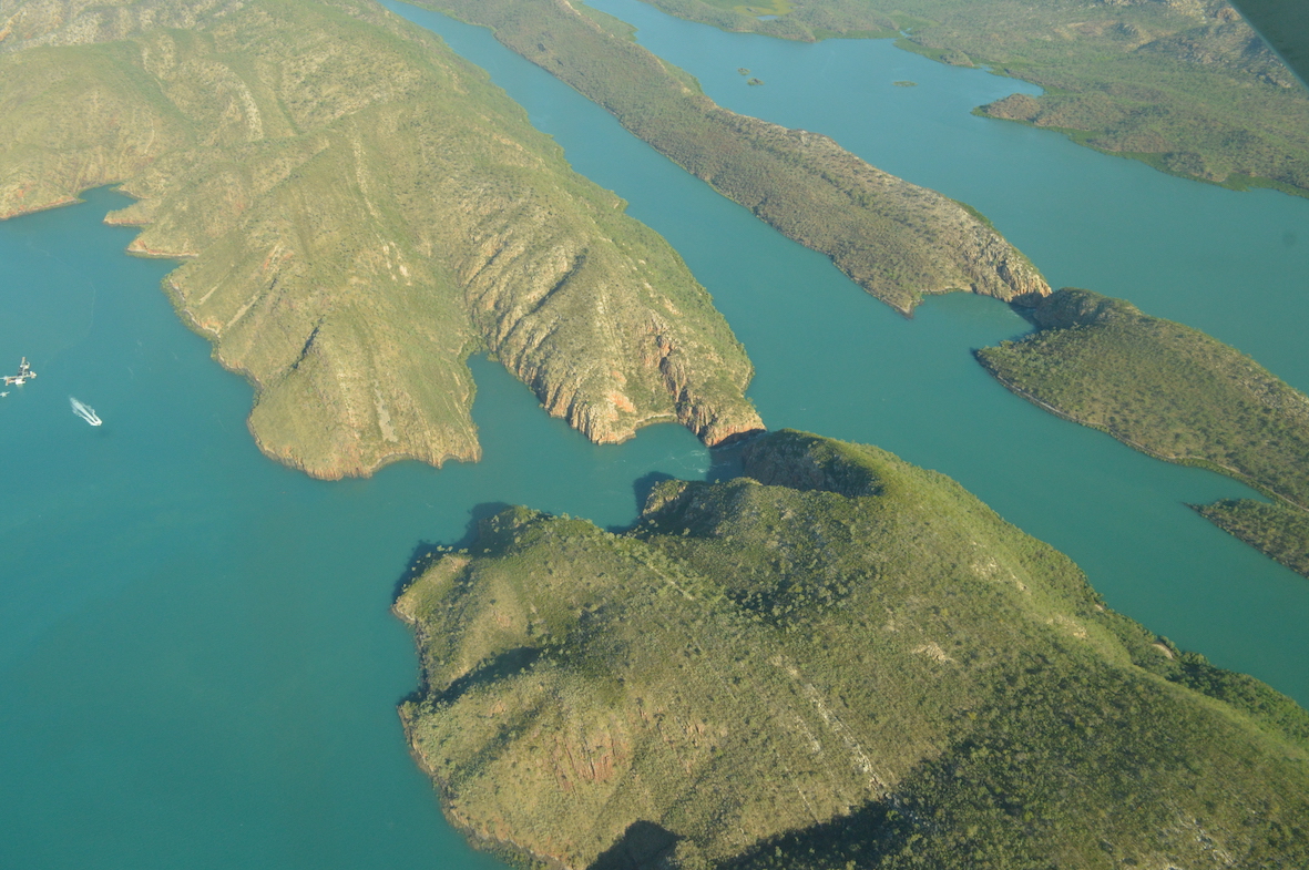
This scenery was easy, though:


Here are the Horizonal Falls.  The top section of water is widely open to the sea (left section in the upper photo., with watercraft visible).


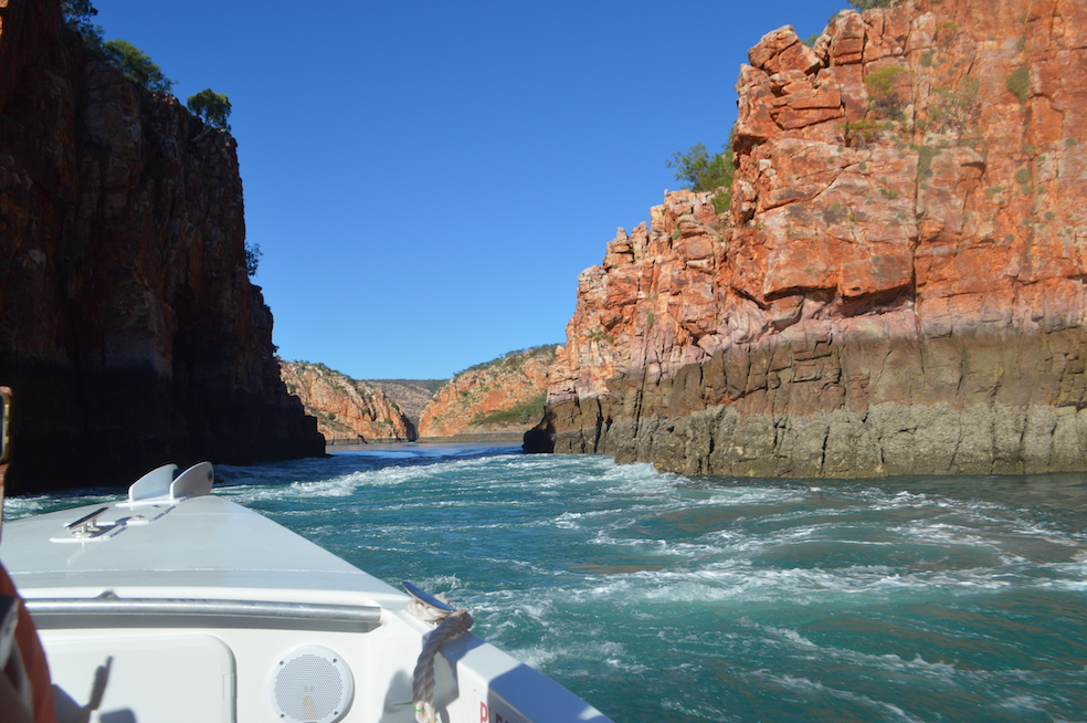
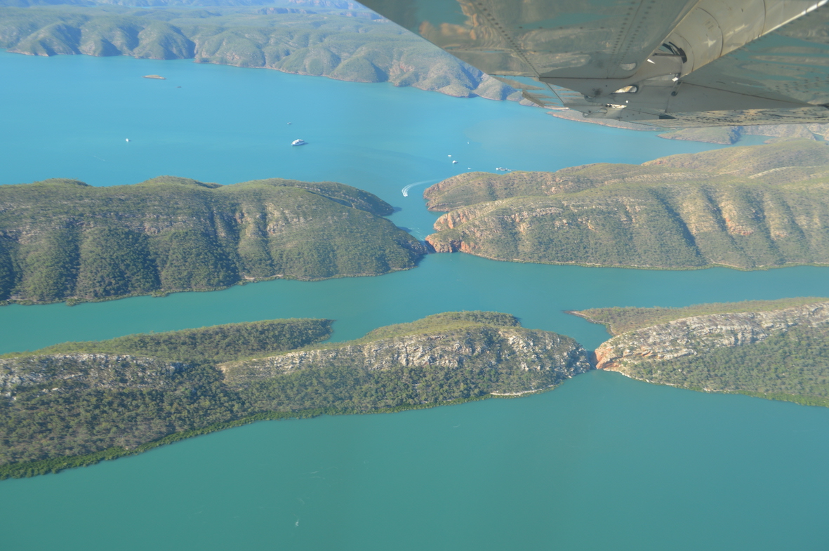
The central section, although seawater, is only connected to the sea by a narrow passage.  As the tide rises, and gradient is created down into the middle patch of water, and down an even tighter passageway to the lowest lake/bay.  In the lower picture it’s possible to make out a boat heading towards the gap between the hills (even though you cannot see the gap itself).  Boats pass through the outer gap (as you saw us do on Day 8).  Eventually the levels equilibrate, then the flows reverse as the tide falls.

These days, no-one goes through the inner rapid-flow section, since a bad accident a couple of years ago.


The Kimberleys Day 15

We had an early start with a trip to visit a tunnel eroded right through a promontory of sandstone.


There were trees which had trapped after floating in with the tide, and then slowly worn away. 


In some ways the most striking aspect of this visit was for us to emerge from the tunnel/cave and not immediately be struck by the beautiful sandstone wall opposite.


Next we had a trip up an inlet called something like: Rainforest Inlet (irony in naming?) which was very picturesque with wonderful rock “sculptures”, lovely mangroves, and a crocodile!


Some of the sandstone shapes are so striking because it is not obvious how they do NOT immediately collapse.

After a swim (where I received some good advice about how to improve my swimming technique from the other travellers), we visited another cave, this one not being a tunnel as there was only one real entrance. 

Once again I was struck by the way in which the sandstone can be eroded in ways to create extraordinary shapes, and even caves/tunnels through the rock.


The Kimberleys Day 14

We had an early trip to shore, up an inlet off Rothsay Water, to see some very good aboriginal rock art.  Apparently, there are even better examples not far from here, but the local aboriginal tribe requests very large fees for permission to view them, so no-one goes.


Next was a visit to Careening Island, where an early British ship stopped for some time for repairs.  Part of a UNESCO-protected zone, there are many animals and birds kept safe around this area.  All that we saw, though, were large Boabab trees into which sailors had carved their ships’ names and the years when they were on the island.


Now we are on another long leg of the voyage, towards Fredericks Bay, where we will be staying overnight.  I am once again reminded that Australia has some beautiful sights and countryside, but each site or view is a long way away from the next one.  Sue and I were discussing what were the most and least useful things we had brought with us.  Least useful for me was a second pair of long trousers, most useful was probably the Tilley hat which I was given by Dad (broad-brimmed but with straps which make it stay on your head in all sorts of wind).  However a good book runs a close second at times …. I am onto my third.

The Kimberleys Day 13

Our day started with a trip up Prince Regent River, as far as the Kings Cascade.


The Kings Cascade is a beautiful waterfall, the water coming down into the river estuary, in a small bay off the main river.


It is possible to put the nose of a boat under the waterfall itself, which is a wonderful, if somewhat cold, experience, as you might see from the sequence below:


We then aimed to get to Careening Bay, but only made it to Rothsay Water, where we spent the night.

The Kimberleys Day 12

Our captain said that this was going to be a relatively slack day.  However it started off with another cruise up a beautiful creek.  Once again, lovely sandstone layered rock formations, mangroves and also much birdlife.


We are travelling through an area of truly beautiful and unspoiled country: since we saw the mine (Day 3 – K+2) s haven’t seen any permanent human structures at all, and only a few boats. 


In Europe, especially around Britain, we would have seen lots of buildings. Lighthouses, beacons and piers.  Not so here in the Kimberleys.  This traveller’s log is being compiled for the internet, but there is no internet available, and probably it will be several days before we have any sort of “coverage” again.  For emergencies the boat has to carry a satellite phone, as well as all the other safety gear.


The Kimberleys Day 11

Today started off with a “Zodiac” circuit of a rocky island which is a breeding ground for gannets and terns.  As with many of the islands here, the rock formations are exciting in themselves, probably eroded into these shapes over many thousands of years.

This particular formation looks as though it surely cannot last much longer before its collapse.  “Not longer”, but is that measured in years, centuries or millenia?


We then headed north, and came across a pod of whales enjoying themselves at the surface of the sea.

Yes, I accept, the above left is not a whale.  It’s a fish called a “Long Tom” skittering over the surface of the water.


The Kimberleys Day 10

Another good day.  It started off with our crew having to rescue another boat which was leaking water and slowly sinking.

All against a beautiful backdrop, of course.


After the crew had successfully rescued the other boat, we went for a scenic cruise around “Steep Island”, which as you can see, is very steep!

A highlight was the nearby rocky island with some extraordinary rock formations, complete with sea-eagles nests.


After this, we motored/sailed up the coast to Hall Point, where we had a swim, and then travelled up to Samson’s Inlet, where we anchored for the night.


The Kimberleys Day 9

An excellent day. 


First was Montgomery Reef: around Montgomery Island, it is a large area of reef which is covered at high tide, and when the tide falls it takes some time for all the water to drain off the reef, creating fast-flowing currents. 

This attracts birds, turtles and other wildlife.


Later, we traveled over to Doubtful Bay, and after lunch we went to Ruby Falls, after a long “Zodiac” journey through the mangroves, complete with crocodiles.


Ruby Falls were excellent, as was the swim in the pool at the top of the Falls.

Who discovered this beautiful spot I cannot know, but it’s a real attraction.  No other parties of people.

The Kimberleys Day 8

Talbot Bay and the Horizontal Falls:  spectacular day.  To appreciate this entry one has to understand the geography; two parallel long hills, water on either side of both upland areas,, (the sea on one side) and small gaps in the linear hills.  Rather like and “H” with two uprights and small horizonal connections.  The tide rises, water pours through one gap and then the other gap as the lakes fill. One after the other.  Apparently David Attenborough declared this the eighth “natural wonder of the world”. 

There are people who fly in by seaplane from Broome, get into boats at the floating reception area and then do what we did – go through the outer gap, then fly out again.

Anyway, the transit thorough whilst the tide is running is quite dramatic.


This is our approach to the wider (outer) gap.  The  tide was flowing out (against us)


This is the narrower gap, through which no-one now goes.


… more like rapids than falls, but hey, who’s quibbling?

Here is the inland bay


After lunch we went up Cyclone Creek (where you take your boat to shelter from a cyclone?)


More spectacular rock formations


… and I saw my first wild saltwater crocodile!

The Kimberleys Day 7

As I type this we are travelling through an extraordinary landscape: a series of approximately parallel long hills with water in-between.  There are breaks in the linear hills, through which we sail to progress north through the range of flooded mountains. 

The water is without waves, in marked contrast to the sea this morning: out departure from the overnight mooring had to be delayed by several hours because the wind was too strong, and had created very rough conditions.

When we did get started, our first stop was at Crocodile Creek; a beautiful spot where there were two freshwater pools separated by waterfalls from each other and the sea.  We climbed up to the second pool and swam there.  Although initially cold, once we had been swimming for a few minutes the temperature felt lovely. In keeping with the name, at the lower pool we had to keep a good lookout for crocodiles, as it was only a metre or two above sea- level and only about ten meters from the creek.  We were discouraged from swimming in the lower pool …

We sailed/motored on, past Koolan Island, which is one of the few modern infrastructure sites that we will see on this trip: a huge iron-ore mine which has largely consumed one of the islands here.  Despite the remote nature of the site it is worthwhile because the ore is such a high percentage of iron – the second richest iron ore in the world, we were told.

We are now travelling on to Talbot Bay, where are found the “Horizontal Falls”.  These are small gaps between the linear hills, with water on both sides.  The tidal range is so large (it can be over 12 metres from low to high water), that the tides create tidal races through the gaps. 

Finally, once moored, we were visited by sharks.